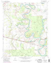
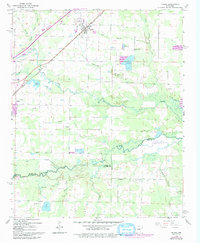
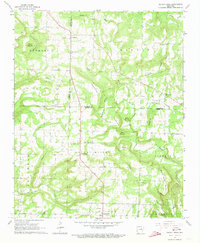
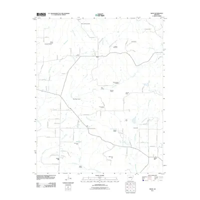
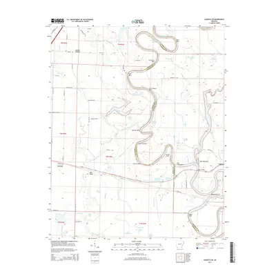
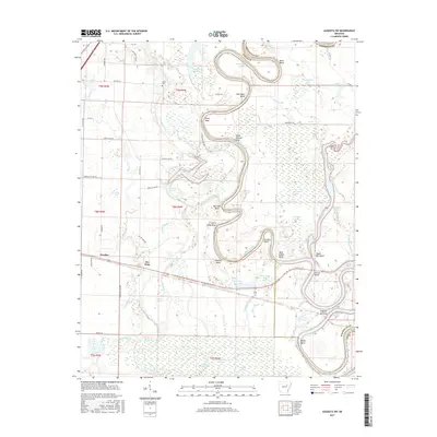
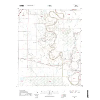
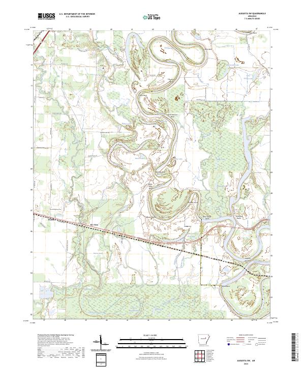
1968 Map of Augusta SW
USGS Topo · Published 1982About this map
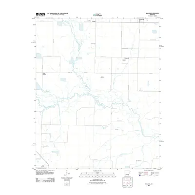
The White River meanders through the heart of the Arkansas bottomlands in this 1968 survey, defining the boundary between Woodruff and White counties. The landscape is a complex network of oxbow lakes and sloughs, including Horseshoe Lake, Long Lake, and the evocative Big Green Tom Lake. Along the eastern bank, the settlement of Augusta sits at a strategic bend, supported by the Missouri Pacific railroad corridor that bisects the southern half of the quadrangle.
Find a feature on this map
54 named features on this map. Tap any name to fly to it.
Don’t see what you’re looking for? This feature index may not catch every label — zoom into the map to look around manually.
Map Details
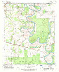
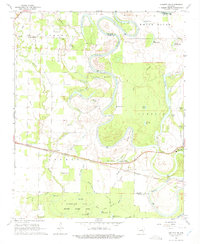
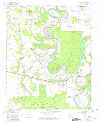
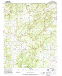
Editions of this 1968 Augusta SW Map
4 editions found
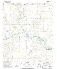
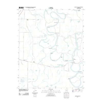
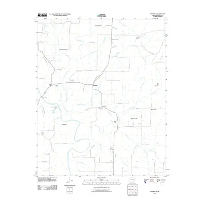
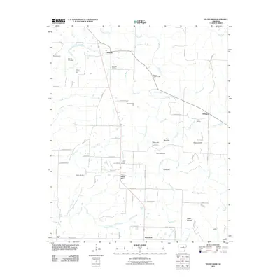
Historical Maps of Augusta Through Time
33 maps found
1963 Mc Rae
White County, AR
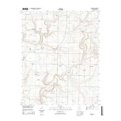
1963 Sidon
White County, AR
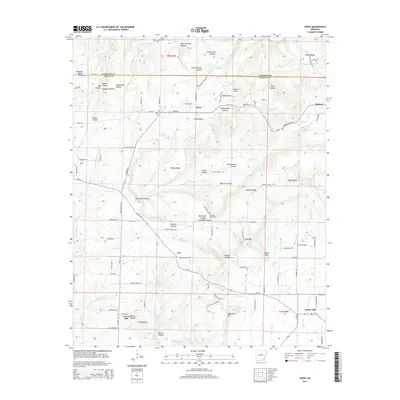
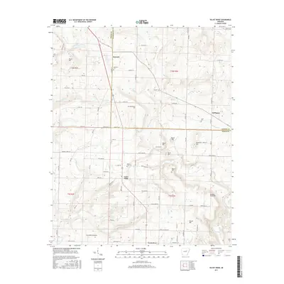
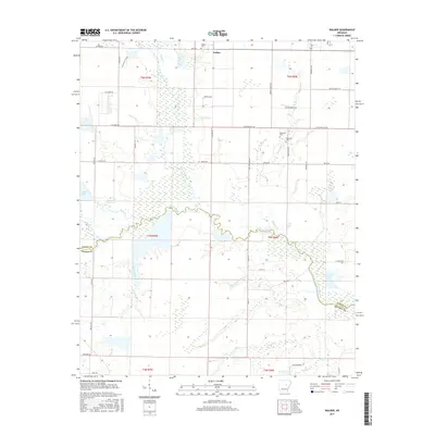
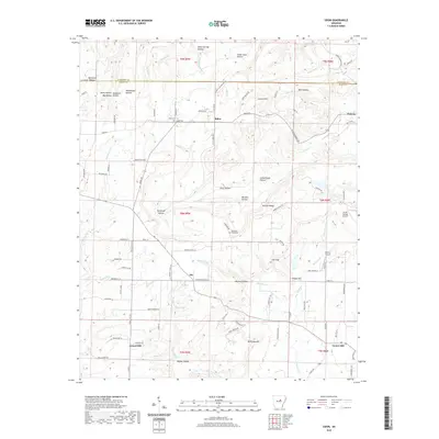
1964 Walker
White County, AR
1965 Steprock
White County, AR
1965 Velvet Ridge
White County, AR
1968 Augusta SW
White County, AR
1994 Sidon
White County, AR
1994 Walker
White County, AR
2011 Augusta SW
White County, AR
2011 Sidon
White County, AR
2011 Steprock
White County, AR
2011 Velvet Ridge
White County, AR
2011 Walker
White County, AR
2014 Augusta SW
White County, AR
2014 Sidon
White County, AR
2014 Steprock
White County, AR
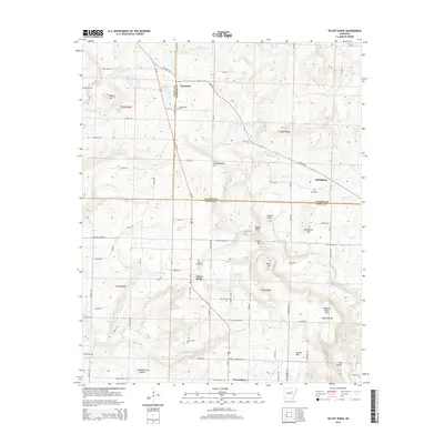
2014 Velvet Ridge
White County, AR
2014 Walker
White County, AR
2017 Augusta SW
White County, AR
2017 Sidon
White County, AR
2017 Steprock
White County, AR
2017 Velvet Ridge
White County, AR
2017 Walker
White County, AR
2020 Augusta SW
White County, AR
2020 Sidon
White County, AR
2020 Steprock
White County, AR
2020 Velvet Ridge
White County, AR
2020 Walker
White County, AR
2024 Augusta SW
White County, AR
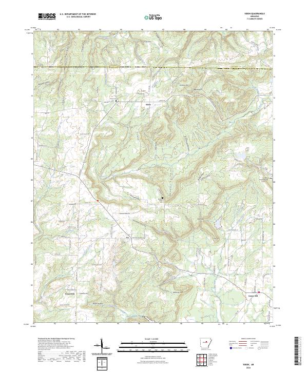
2024 Sidon
White County, AR
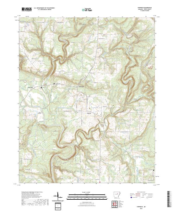
2024 Steprock
White County, AR
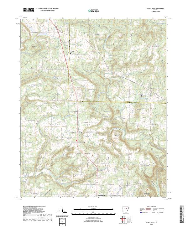
2024 Velvet Ridge
White County, AR
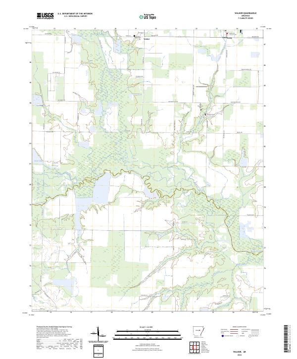
2024 Walker
White County, AR