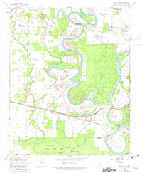
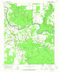
1968 Map of Augusta SW
USGS Topo · Published 1982About this map
White River meanders through this landscape on the border of Woodruff and White Counties, defining a floodplain dense with oxbows and cypress-lined breaks. The river’s winding course is marked by landmarks like Panther Point and numerous sloughs, including Out-off Slough and Goose Pond Slough. To the south, the Hurricane Lake State Game Area encompasses a labyrinth of water bodies such as Big Clear Lake, Little Clear Lake, and Bollie Pond, illustrating the complex hydrology of the Arkansas bottomlands.
Find a feature on this map
48 named features on this map. Tap any name to fly to it.
Don’t see what you’re looking for? This feature index may not catch every label — zoom into the map to look around manually.
Map Details
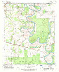
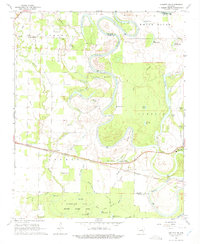
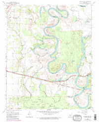
Editions of this 1968 Augusta SW Map
4 editions found
Other maps of this area

1932 · Kensett
USGS Topo · 1:62,500

1935 · Kensett
USGS Topo · 1:62,500

1935 · Augusta
USGS Topo · 1:62,500

1935 · Gregory
USGS Topo · 1:62,500

1935 · Bald Knob
USGS Topo · 1:62,500

1953 · Memphis
USGS Topo · 1:250,000

1956 · Memphis
USGS Topo · 1:250,000

1957 · Augusta
USGS Topo · 1:62,500

1957 · Gregory
USGS Topo · 1:62,500
1964 · West Point
USGS Topo · 1:24,000