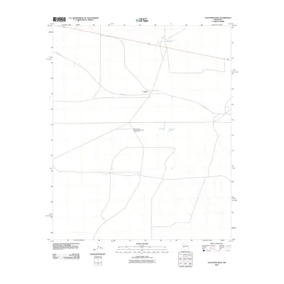
2010 Map of Augustine Well
USGS Topo · Published 2010About this map
The National Radio Astronomy Observatory VLA Telescope dominates this high-altitude plains landscape in Socorro County, illustrating the intersection of advanced scientific research and traditional ranching infrastructure. This arid terrain is defined by its critical water points, including the namesake Augustine Well and the nearby Augustine Windmill, which speak to the long-standing reliance on groundwater in this part of New Mexico. The transition of local transportation is evident where Old Hwy 60 traverses the quadrangle, occasionally paralleling newer routes. Subtle hydrologic features like Clements Lake, supported by the Clements Well, provide rare surface water markers in an otherwise sparse environment. The presence of the New Augustine Water Well further indicates the ongoing management of water resources necessary to sustain both local livestock operations and the scientific community operating the Very Large Array.
Find a feature on this map
8 named features on this map. Tap any name to fly to it.
Don’t see what you’re looking for? This feature index may not catch every label — zoom into the map to look around manually.
Map Details
Editions of this 2010 Augustine Well Map
This is the sole edition of this map. No revisions or reprints were ever made.
Other maps of this area

1954 · Tularosa
USGS Topo · 1:250,000

1954 · Socorro
USGS Topo · 1:250,000

1958 · Socorro
USGS Topo · 1:250,000

1958 · Tularosa
USGS Topo · 1:250,000

1962 · Socorro
USGS Topo · 1:250,000

1963 · Anderson Peak
USGS Topo · 1:24,000

1963 · Datil
USGS Topo · 1:24,000

1964 · Arrowhead Well
USGS Topo · 1:24,000

1964 · Monica Saddle
USGS Topo · 1:24,000

1964 · Lion Mountain
USGS Topo · 1:24,000