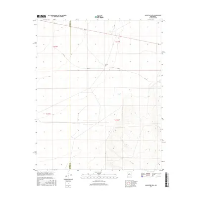
2017 Map of Augustine Well
USGS Topo · Published 2017About this map
Augustine Well serves as a primary landmark in this high-desert region where the boundaries of Catron and Socorro counties meet. The landscape is defined by its arid character and sparse water sources, such as the ephemeral Clements Lake situated north of the rising terrain. Transportation routes through this part of New Mexico reflect shifting eras of travel, shown by the path of Old Hwy 60 running parallel to the modern alignment of Route 60.
Find a feature on this map
11 named features on this map. Tap any name to fly to it.
Don’t see what you’re looking for? This feature index may not catch every label — zoom into the map to look around manually.
Map Details
Editions of this 2017 Augustine Well Map
This is the sole edition of this map. No revisions or reprints were ever made.
Other maps of this area

1954 · Tularosa
USGS Topo · 1:250,000

1954 · Socorro
USGS Topo · 1:250,000

1958 · Socorro
USGS Topo · 1:250,000

1958 · Tularosa
USGS Topo · 1:250,000

1962 · Socorro
USGS Topo · 1:250,000

1963 · Anderson Peak
USGS Topo · 1:24,000

1963 · Datil
USGS Topo · 1:24,000

1964 · Arrowhead Well
USGS Topo · 1:24,000

1964 · Monica Saddle
USGS Topo · 1:24,000

1964 · Lion Mountain
USGS Topo · 1:24,000