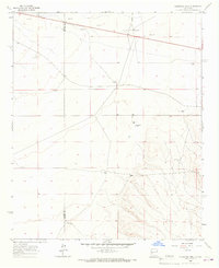
1965 Map of Augustine Well
USGS Topo · Published 1967About this map
Water management defines the high desert landscape along the border of Catron and Socorro counties during the mid-1960s. This arid terrain is punctuated by a network of named water sources and ranching infrastructure, such as Augustine Well and New Augustine Well. The map reveals the critical importance of localized wells for survival and agriculture, including family-named landmarks like Heinz Well, Garcia Well, and Clements Well.
Find a feature on this map
23 named features on this map. Tap any name to fly to it.
Don’t see what you’re looking for? This feature index may not catch every label — zoom into the map to look around manually.
Map Details
Editions of this 1965 Augustine Well Map
This is the sole edition of this map. No revisions or reprints were ever made.
Other maps of this area

1954 · Tularosa
USGS Topo · 1:250,000

1954 · Socorro
USGS Topo · 1:250,000

1958 · Socorro
USGS Topo · 1:250,000

1958 · Tularosa
USGS Topo · 1:250,000

1962 · Socorro
USGS Topo · 1:250,000

1963 · Anderson Peak
USGS Topo · 1:24,000

1963 · Datil
USGS Topo · 1:24,000

1964 · Arrowhead Well
USGS Topo · 1:24,000

1964 · Monica Saddle
USGS Topo · 1:24,000

1964 · Lion Mountain
USGS Topo · 1:24,000