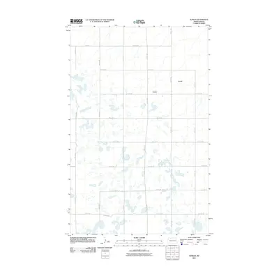
2011 Map of Aurelia
USGS Topo · Published 2011About this map
Aurelia sits within a landscape defined by an extensive network of small prairie potholes and wetlands typical of the North Dakota drift prairie. This 2011 survey illustrates the rural township structure of Ward County, where section lines are traced by a grid of local roads like 408th St NW and 212th Ave NW. For genealogists and local historians, the Moravian Cemetery serves as a significant landmark, situated west of the central settlement area. The map documents the enduring agricultural layout of the region, showing how the land is partitioned around hundreds of small, scattered water bodies that influence the path of routes such as 394th St NW and 87th St NW.
Find a feature on this map
18 named features on this map. Tap any name to fly to it.
Don’t see what you’re looking for? This feature index may not catch every label — zoom into the map to look around manually.
Map Details
Editions of this 2011 Aurelia Map
This is the sole edition of this map. No revisions or reprints were ever made.
Other maps of this area

1947 · Tolley
USGS Topo · 1:62,500

1948 · Donnybrook
USGS Topo · 1:24,000

1949 · Tolley SE
USGS Topo · 1:24,000

1949 · Hartland
USGS Topo · 1:24,000

1949 · Coulee
USGS Topo · 1:24,000

1950 · Kenmare
USGS Topo · 1:62,500

1950 · Tolley
USGS Topo · 1:62,500

1953 · Williston
USGS Topo · 1:250,000

1954 · Minot
USGS Topo · 1:250,000

1957 · Williston
USGS Topo · 1:250,000