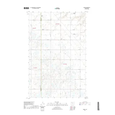
2017 Map of Aurelia
USGS Topo · Published 2017About this map
Aurelia sits at the eastern edge of this northern North Dakota landscape, situated within a topography defined by drainage coulees and glacial wetlands. The terrain is marked by the winding paths of Jack Power Coulee, Bowman Coulee, and Shipton Coulee, which cut through the high plains. A significant local landmark is the Moravian Cem, located centrally along 212th Ave NW. The map reveals the intricate rural road network that partitions the land, including Co Hwy 6 and Co Hwy 8, as well as the north-south boundary line between Mountrail County and Ward County. This 2017 survey documents a modern prairie landscape where agriculture and natural water features coexist within the traditional township and range grid system.
Find a feature on this map
33 named features on this map. Tap any name to fly to it.
Don’t see what you’re looking for? This feature index may not catch every label — zoom into the map to look around manually.
Map Details
Editions of this 2017 Aurelia Map
This is the sole edition of this map. No revisions or reprints were ever made.
Other maps of this area

1947 · Tolley
USGS Topo · 1:62,500

1948 · Donnybrook
USGS Topo · 1:24,000

1949 · Tolley SE
USGS Topo · 1:24,000

1949 · Hartland
USGS Topo · 1:24,000

1949 · Coulee
USGS Topo · 1:24,000

1950 · Kenmare
USGS Topo · 1:62,500

1950 · Tolley
USGS Topo · 1:62,500

1953 · Williston
USGS Topo · 1:250,000

1954 · Minot
USGS Topo · 1:250,000

1957 · Williston
USGS Topo · 1:250,000