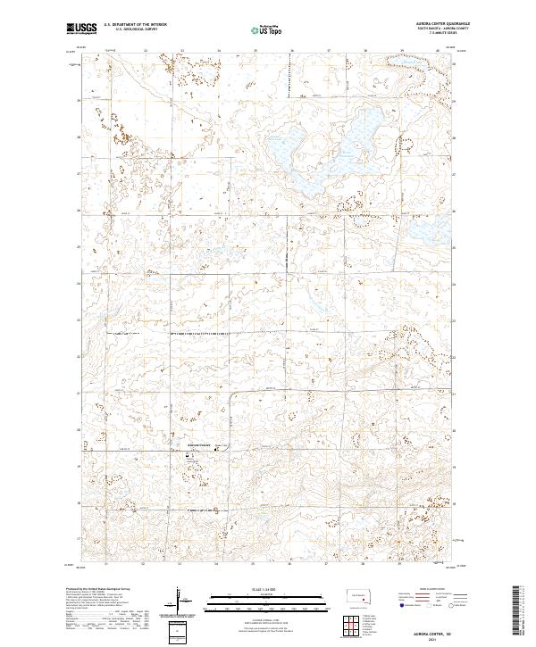
2021 Map of Aurora Center
USGS Topo · Published 2021About this map
Aurora Center serves as the focal point of this South Dakota landscape, situated in the southern half of the map at the junction of 266th St and 381st Ave. This area of Aurora County exhibits the traditional grid-based settlement pattern characteristic of the American Great Plains, where section lines dictate the placement of local thoroughfares like Co Rd 58 and 265th St. Genealogy and local history interest is concentrated around the Aurora Center Cem and the Quaker Cem, both situated near the central settlement. The northern reaches of the terrain are punctuated by localized water bodies, including the descriptively named Horse Shoe Lake and Pleasant Lake, which sit amidst a network of ephemeral wetlands and drainage ways such as E Fork Platte Cr.
Find a feature on this map
27 named features on this map. Tap any name to fly to it.
Don’t see what you’re looking for? This feature index may not catch every label — zoom into the map to look around manually.
Map Details
Editions of this 2021 Aurora Center Map
This is the sole edition of this map. No revisions or reprints were ever made.
Other maps of this area

1899 · Mitchell
USGS Topo · 1:125,000

1955 · Mitchell
USGS Topo · 1:250,000

1959 · Mitchell
USGS Topo · 1:250,000

1979 · New Holland
USGS Topo · 1:24,000

1979 · Laffey Lake
USGS Topo · 1:24,000

1979 · Crystal Lake
USGS Topo · 1:24,000

1979 · White Lake
USGS Topo · 1:24,000

1979 · Aurora Center
USGS Topo · 1:24,000

1979 · Joubert
USGS Topo · 1:24,000

1980 · Stickney
USGS Topo · 1:24,000
Featured Places
- Truro Township, SD
- Center Township, SD
- Crystal Lake Township, SD
- Pleasant Lake Township, SD
- Aurora Center, SD