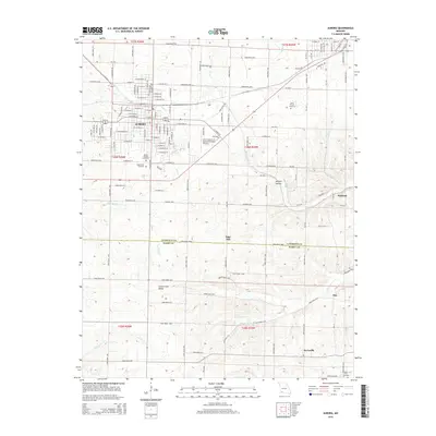
2015 Map of Aurora
USGS Topo · Published 2015About this map
Aurora serves as the central hub of this Missouri landscape, situated on the border where Lawrence and Barry Counties meet. The town's grid is flanked by significant local landmarks including Mount Calvary Cemetery and Mapel Park Cemetery, while the Jerry Sumners Sr Aurora Municipal Airport sits just to the east. Beyond the main settlement, the terrain transitions into a patchwork of rural farm roads and natural features.
Find a feature on this map
122 named features on this map. Tap any name to fly to it.
Don’t see what you’re looking for? This feature index may not catch every label — zoom into the map to look around manually.
Map Details
Editions of this 2015 Aurora Map
This is the sole edition of this map. No revisions or reprints were ever made.
Other maps of this area

1886 · Greenfield
USGS Topo · 1:125,000

1888 · Greenfield
USGS Topo · 1:125,000

1919 · Halltown
USGS Topo · 1:62,500

1921 · Stotts City
USGS Topo · 1:62,500

1942 · Aurora
USGS Topo · 1:62,500

1943 · Monett
USGS Topo · 1:62,500

1945 · Harrison
USGS Topo · 1:250,000

1945 · Aurora
USGS Topo · 1:62,500

1949 · Harrison
USGS Topo · 1:250,000

1954 · Harrison
USGS Topo · 1:250,000