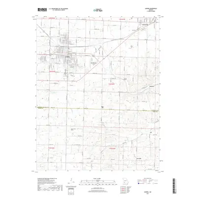
2017 Map of Aurora
USGS Topo · Published 2017About this map
Aurora and Marionville anchor this 2017 survey of the southwest Missouri landscape where Lawrence and Barry counties meet. The grid of Aurora’s residential streets, such as W College St and E Church St, reveals a dense urban core that transitions into the rural stretches of Little Crane Valley and the Hickory Hollow terrain. Local history is preserved in numerous burial grounds, including the Maple Park Cem and Mount Calvary Cem at the southern edge of the city. To the southeast, small settlements like Revisville, Osa, and Bonham dot the countryside, connected by a network of farm-to-market roads like Co Rd 1210. The drainage of Spring River and its tributaries, such as Honey Cr and Calton Cr, defines the hydrologic character of the region south of the Jerry Sumners Sr Aurora Municipal Airport.
Find a feature on this map
104 named features on this map. Tap any name to fly to it.
Don’t see what you’re looking for? This feature index may not catch every label — zoom into the map to look around manually.
Map Details
Editions of this 2017 Aurora Map
This is the sole edition of this map. No revisions or reprints were ever made.
Other maps of this area

1886 · Greenfield
USGS Topo · 1:125,000

1888 · Greenfield
USGS Topo · 1:125,000

1919 · Halltown
USGS Topo · 1:62,500

1921 · Stotts City
USGS Topo · 1:62,500

1942 · Aurora
USGS Topo · 1:62,500

1943 · Monett
USGS Topo · 1:62,500

1945 · Harrison
USGS Topo · 1:250,000

1945 · Aurora
USGS Topo · 1:62,500

1949 · Harrison
USGS Topo · 1:250,000

1954 · Harrison
USGS Topo · 1:250,000