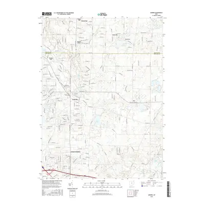
2016 Map of Aurora
USGS Topo · Published 2016About this map
The Cuyahoga River and its varied tributaries, including Tinkers Creek and Aurora Branch, define the hydrology of this 2016 landscape on the border of Geauga and Portage counties. Suburban expansion radiates from the established centers of Aurora and Streetsboro, yet historical footprints remain visible through a high concentration of localized cemeteries such as Henry Cem, Fowler Cem, and Plainview Cem. The northern portion of the map highlights a series of small water bodies like Beartown Lakes and Minnow Pond, alongside the larger La Due Reservoir. The settlement pattern is characterized by distinct residential clusters like Taborville, Beartown, and Beacon Hill, which sit amid a dense network of modern roads and evolving recreational areas like Sunny Lake and Geauga Lake.
Find a feature on this map
111 named features on this map. Tap any name to fly to it.
Don’t see what you’re looking for? This feature index may not catch every label — zoom into the map to look around manually.
Map Details
Editions of this 2016 Aurora Map
This is the sole edition of this map. No revisions or reprints were ever made.
Other maps of this area

1905 · Garrettsville
USGS Topo · 1:62,500

1906 · Kent
USGS Topo · 1:62,500

1906 · Chagrin Falls
USGS Topo · 1:62,500

1906 · Ravenna
USGS Topo · 1:62,500

1907 · Garrettsville
USGS Topo · 1:62,500

1908 · Chagrin Falls
USGS Topo · 1:62,500

1908 · Ravenna
USGS Topo · 1:62,500

1950 · Cleveland
USGS Topo · 1:250,000

1953 · South Russell
USGS Topo · 1:24,000

1953 · Aurora
USGS Topo · 1:24,000