
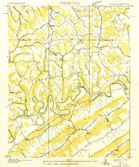
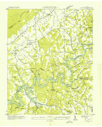
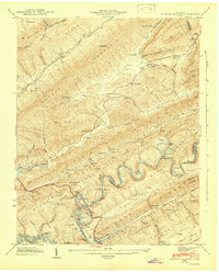
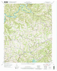
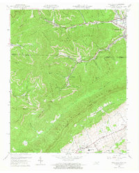
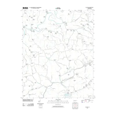
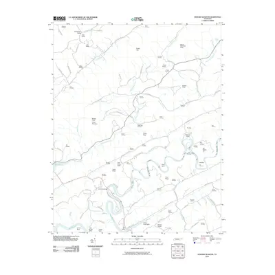
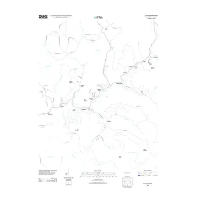
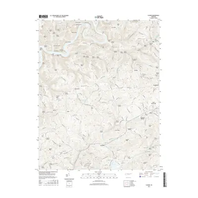
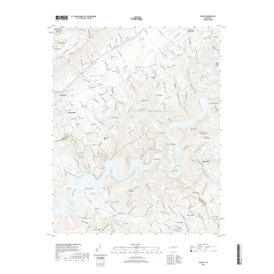
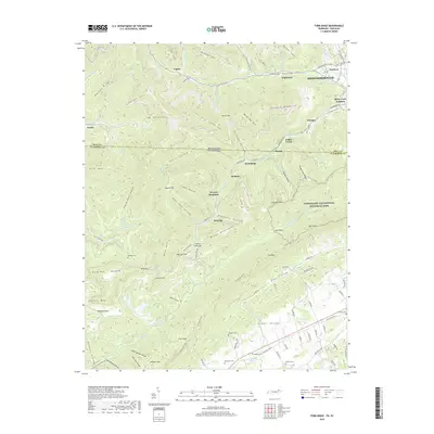
1942 Map of Ausmus
USGS Topo · Published 1942About this map
Cumberland Mountain looms over this early 1940s landscape, where the rising waters of the Norris Reservoir had recently transformed the valley of the Powell River. The map documents a rural society in transition as the Tennessee Valley Authority's work reshaped the terrain, leaving landmarks like Wilson Bend and Leadmine Bend prominent along the new shoreline. Local life is anchored by family-named sites and small community centers such as Speedwell and Yoakum Crossroad.
Find a feature on this map
79 named features on this map. Tap any name to fly to it.
Don’t see what you’re looking for? This feature index may not catch every label — zoom into the map to look around manually.
Map Details
Editions of this 1942 Ausmus Map
This is the sole edition of this map. No revisions or reprints were ever made.
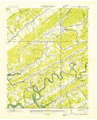
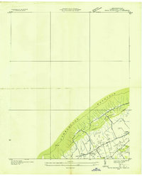
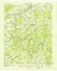
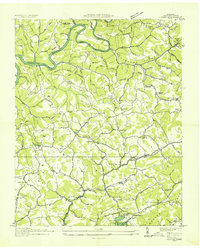
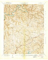
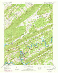
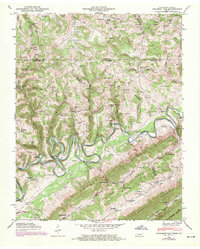
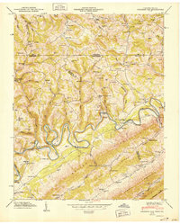
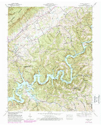
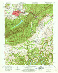
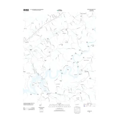
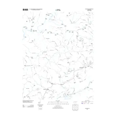
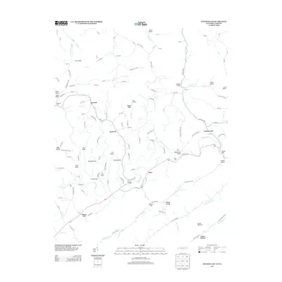
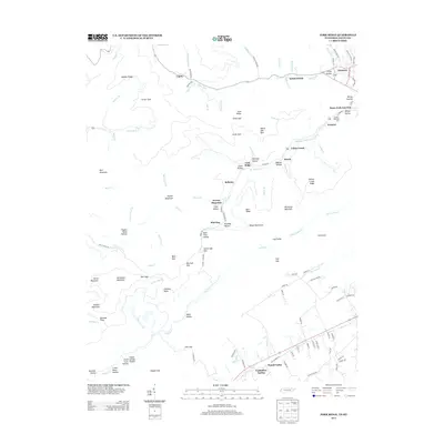
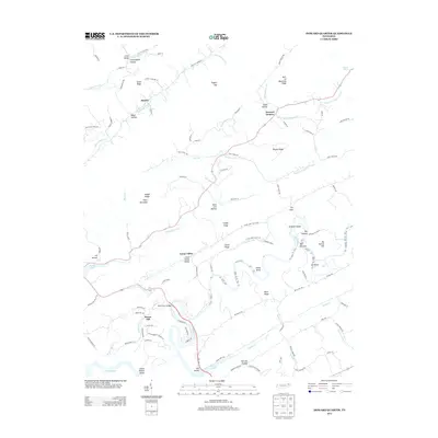
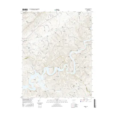
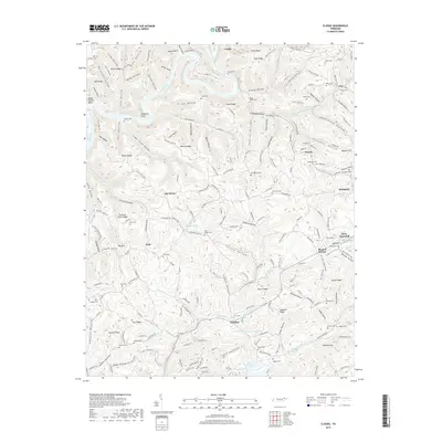
Historical Maps of Speedwell Through Time
51 maps found
1935 Colman
Claiborne County, TN
1935 Howard Quarter
Claiborne County, TN
1935 Mingo Mountains
Claiborne County, TN
1935 Wheeler
Claiborne County, TN
1936 Ausmus
Claiborne County, TN
1936 Clouds
Claiborne County, TN
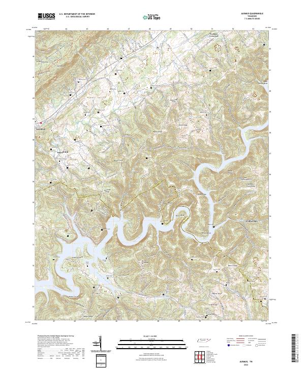
1942 Ausmus
Claiborne County, TN
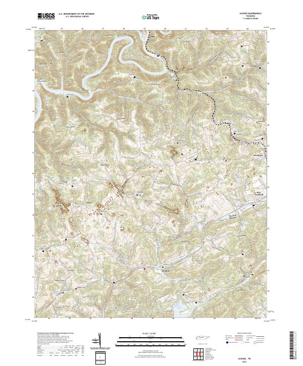
1942 Clouds
Claiborne County, TN
1942 Howard Quarter
Claiborne County, TN
1943 Howard Quarter
Claiborne County, TN
1946 Colemen Gap
Claiborne County, TN
1950 Colemen Gap
Claiborne County, TN

1950 Mingo Mountains
Claiborne County, TN
1952 Ausmus
Claiborne County, TN
1952 Clouds
Claiborne County, TN
1953 Eagan
Claiborne County, TN
1955 Middlesboro South
Claiborne County, TN
1956 Wheeler
Claiborne County, TN
1959 Fork Ridge
Claiborne County, TN
1959 Middlesboro South
Claiborne County, TN
1976 Colemen Gap
Claiborne County, TN
2010 Ausmus
Claiborne County, TN
2010 Clouds
Claiborne County, TN
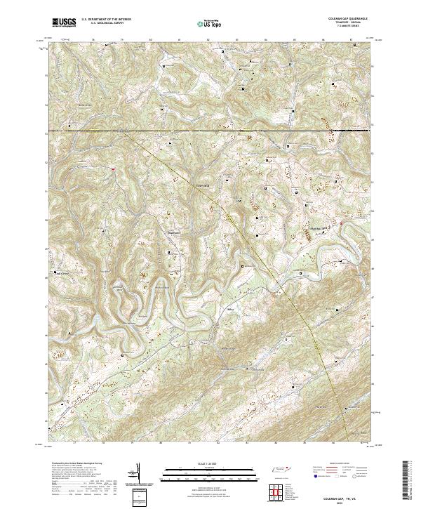
2010 Coleman Gap
Claiborne County, TN
2010 Eagan
Claiborne County, TN
2010 Fork Ridge
Claiborne County, TN
2010 Howard Quarter
Claiborne County, TN
2013 Ausmus
Claiborne County, TN
2013 Clouds
Claiborne County, TN
2013 Coleman Gap
Claiborne County, TN
2013 Eagan
Claiborne County, TN
2013 Fork Ridge
Claiborne County, TN
2013 Howard Quarter
Claiborne County, TN
2016 Ausmus
Claiborne County, TN
2016 Clouds
Claiborne County, TN
2016 Coleman Gap
Claiborne County, TN
2016 Eagan
Claiborne County, TN
2016 Fork Ridge
Claiborne County, TN

2016 Howard Quarter
Claiborne County, TN
2019 Ausmus
Claiborne County, TN
2019 Clouds
Claiborne County, TN
2019 Coleman Gap
Claiborne County, TN
2019 Eagan
Claiborne County, TN
2019 Fork Ridge
Claiborne County, TN

2019 Howard Quarter
Claiborne County, TN
2022 Ausmus
Claiborne County, TN
2022 Clouds
Claiborne County, TN
2022 Coleman Gap
Claiborne County, TN
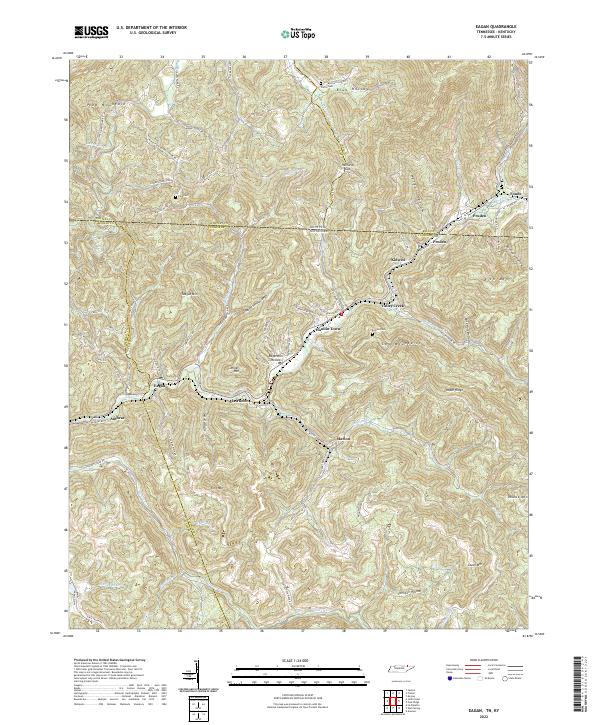
2022 Eagan
Claiborne County, TN
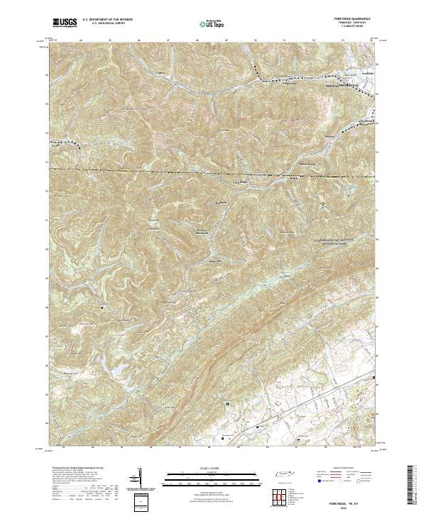
2022 Fork Ridge
Claiborne County, TN
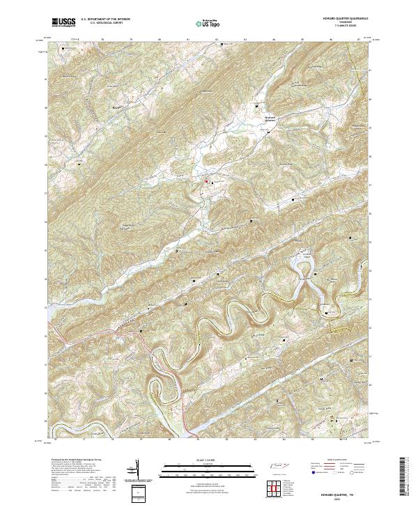
2022 Howard Quarter
Claiborne County, TN