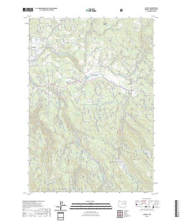
2023 Map of Austin
USGS Topo · Published 2023About this map
Austin sits at the western edge of this high-elevation landscape within the Malheur National Forest, where the headwaters of the Middle Fork John Day River wind through a series of open meadows and flats. The terrain is defined by a dense network of mountain streams and spring systems, including Wiwaanaytt Creek and Olmstead Creek, which flow through named clearings like Phipps Meadow and Bjerkson Flat.
Find a feature on this map
39 named features on this map. Tap any name to fly to it.
Don’t see what you’re looking for? This feature index may not catch every label — zoom into the map to look around manually.
Map Details
Editions of this 2023 Austin Map
This is the sole edition of this map. No revisions or reprints were ever made.
Other maps of this area

1901 · Sumpter
USGS Topo · 1:125,000

1908 · Ironside Mountain
USGS Topo · 1:125,000

1951 · Bates
USGS Topo · 1:62,500

1955 · Canyon City
USGS Topo · 1:250,000

1959 · Canyon City
USGS Topo · 1:250,000

1959 · Prairie City
USGS Topo · 1:62,500

1961 · Whitney
USGS Topo · 1:24,000

1972 · Austin
USGS Topo · 1:24,000
1972 · Deardorff Mtn
USGS Topo · 1:24,000

1972 · Greenhorn
USGS Topo · 1:24,000