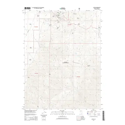
2014 Map of Austin
USGS Topo · Published 2014About this map
The high-elevation mining town of Austin occupies the steep terrain of Pony Canyon, situated at the heart of the Toiyabe Range. This 2014 survey details the complex topography surrounding the settlement, including the prominent stone landmark of Stokes Castle overlooking the canyon. The landscape is defined by its deep ravines and sharp ridges, notably Cedar Ravine and Union Hill, which reflect the area's rich prospecting history. Infrastructure such as the Clifton Tunnel and the winding path of Big Creek Rd highlight the engineering required to navigate this portion of the Toiyabe National Forest.
Find a feature on this map
38 named features on this map. Tap any name to fly to it.
Don’t see what you’re looking for? This feature index may not catch every label — zoom into the map to look around manually.
Map Details
Editions of this 2014 Austin Map
This is the sole edition of this map. No revisions or reprints were ever made.
Other maps of this area

1926 · Roberts Mountains
USGS Topo · 1:250,000

1929 · Roberts Mountains
USGS Topo · 1:250,000

1955 · Millett
USGS Topo · 1:250,000

1956 · Mount Callaghan
USGS Topo · 1:62,500

1956 · Austin
USGS Topo · 1:62,500

1959 · Millett
USGS Topo · 1:250,000

1960 · Spencer Hot Springs
USGS Topo · 1:62,500

1969 · Yankee Blade
USGS Topo · 1:24,000

1969 · Vigus Butte
USGS Topo · 1:24,000

1978 · Summit Mountain
USGS Topo · 1:100,000