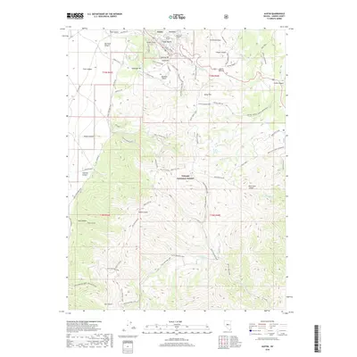
2018 Map of Austin
USGS Topo · Published 2018About this map
Austin sits at the heart of this high-elevation landscape, where the terrain is marked by the complex network of ravines and peaks surrounding the Toiyabe National Forest. The town's layout is defined by historical landmarks like Stokes Castle and the Clifton Tunnel, reflecting the engineering and residential legacy of this mining district. The surrounding hills, including Central Hill, South Hill, and North Hill, are etched with numerous specialized roads and trails such as the Pony Express Loop and the Gold Venture Loop, illustrating the area's transition from 19th-century resource extraction to modern recreation.
Find a feature on this map
66 named features on this map. Tap any name to fly to it.
Don’t see what you’re looking for? This feature index may not catch every label — zoom into the map to look around manually.
Map Details
Editions of this 2018 Austin Map
This is the sole edition of this map. No revisions or reprints were ever made.
Other maps of this area

1926 · Roberts Mountains
USGS Topo · 1:250,000

1929 · Roberts Mountains
USGS Topo · 1:250,000

1955 · Millett
USGS Topo · 1:250,000

1956 · Mount Callaghan
USGS Topo · 1:62,500

1956 · Austin
USGS Topo · 1:62,500

1959 · Millett
USGS Topo · 1:250,000

1960 · Spencer Hot Springs
USGS Topo · 1:62,500

1969 · Yankee Blade
USGS Topo · 1:24,000

1969 · Vigus Butte
USGS Topo · 1:24,000

1978 · Summit Mountain
USGS Topo · 1:100,000