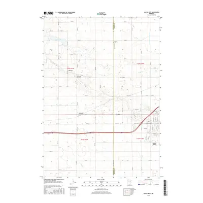
2016 Map of Austin West
USGS Topo · Published 2016About this map
The borderlands of Freeborn and Mower Counties define this prairie landscape, where the westward expansion of Austin meets the agricultural townships of Moscow and Oakland. The western edge of the city is characterized by recent suburban and educational development, including the Riverland Community College campus and the residential enclave of Austin Acres. This 2016 survey documents a highly managed hydrological system, where natural watercourses like Turtle Cr and Murphy Cr are integrated with man-made drainage such as Judicial Ditch Number Five.
Find a feature on this map
73 named features on this map. Tap any name to fly to it.
Don’t see what you’re looking for? This feature index may not catch every label — zoom into the map to look around manually.
Map Details
Editions of this 2016 Austin West Map
This is the sole edition of this map. No revisions or reprints were ever made.
Other maps of this area

1954 · Hayward
USGS Topo · 1:62,500

1954 · Austin
USGS Topo · 1:62,500

1954 · Mason City
USGS Topo · 1:250,000

1957 · Mason City
USGS Topo · 1:250,000

1958 · Mason City
USGS Topo · 1:250,000

1966 · Waltham
USGS Topo · 1:24,000

1967 · Blooming Prairie
USGS Topo · 1:24,000

1967 · Hollandale
USGS Topo · 1:24,000
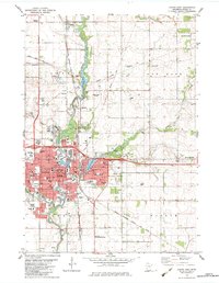
1982 · Austin East
USGS Topo · 1:24,000

1982 · Hayward
USGS Topo · 1:24,000