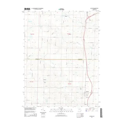
2015 Map of Auxvasse
USGS Topo · Published 2015About this map
Auxvasse sits at the eastern edge of this Missouri landscape, serving as a focal point for a region defined by agricultural plots and a network of named creek systems. The boundary between Audrain Co and Callaway Co bisects the area, with the northern portion featuring the small settlement of Champ and the southern reach containing the community of Concord. Local history is anchored by several burial grounds, including the Concord Cemetery, Grand Prairie Cemetery, and Auxvasse Cemetery, which often mark the location of early parish life or family homesteads.
Find a feature on this map
76 named features on this map. Tap any name to fly to it.
Don’t see what you’re looking for? This feature index may not catch every label — zoom into the map to look around manually.
Map Details
Editions of this 2015 Auxvasse Map
This is the sole edition of this map. No revisions or reprints were ever made.
Other maps of this area

1886 · Jefferson City
USGS Topo · 1:125,000

1890 · Mexico
USGS Topo · 1:125,000

1890 · Moberly
USGS Topo · 1:125,000

1890 · Fulton
USGS Topo · 1:125,000

1894 · Jefferson City
USGS Topo · 1:125,000

1928 · Fulton
USGS Topo · 1:62,500

1931 · Fulton
USGS Topo · 1:62,500

1932 · Mexico
USGS Topo · 1:62,500

1944 · Millersburg
USGS Topo · 1:62,500

1945 · Centralia
USGS Topo · 1:62,500