2021 Map of Auxvasse
USGS Topo · Published 2021About this map
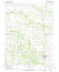
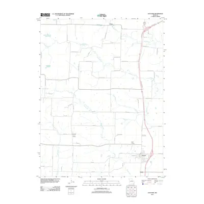
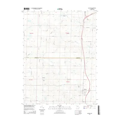
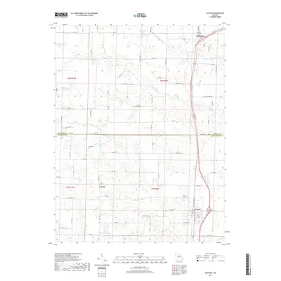
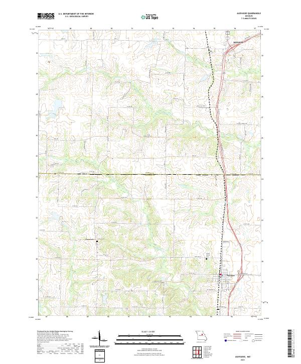
Auxvasse and the surrounding agricultural lands of Callaway and Audrain Counties are defined by a network of creeks and small family-named lakes. The landscape is bisected by the Audrain Co Callaway Co line, with the southern portion of Mexico appearing at the northern edge. Numerous watercourses such as Beaverdam Cr, Bynum Cr, and Scattering Fork drain the undulating terrain, while man-made features like August H Fenck Senior Lake and E B Feutz Lake suggest local land use patterns. This 2021 survey reveals a quiet, dispersed community structure, where the small settlement of Concord remains a local landmark alongside established burial grounds. Researchers will find significant genealogical detail in the locations of Concord Cem, Grand Prairie Cem, and Auxvasse Cem, which anchor the rural stretches between the larger population centers.
Find a feature on this map
79 named features on this map. Tap any name to fly to it.
Don’t see what you’re looking for? This feature index may not catch every label — zoom into the map to look around manually.
Map Details
Editions of this 2021 Auxvasse Map
This is the sole edition of this map. No revisions or reprints were ever made.
Historical Maps of Mexico Through Time
5 maps found