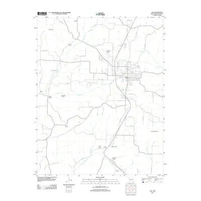
2012 Map of Ava
USGS Topo · Published 2012About this map
Ava serves as the focal point of this Douglas County region, where the grid of city streets transitions into a network of county roads. The landscape is defined by its numerous hollows and creek systems, including Prairie Creek and North Spring Creek, which carve through the Ozark terrain. Local genealogy is well-documented through a high density of rural burial grounds, such as Bragg Cemetery to the north and Harris Cemetery further south, often located near historical crossroads. Outside the town center, smaller settlements like Arno and Hest sit along routes like Co RD 532, while the Bill Martin Memorial Airport occupies a plateau north of the main community. Elevations range from the prominent Pilot Knob in the northwest to the distinct Table Rock Knob in the east, illustrating the complex drainage patterns of Couskin Creek and Whites Creek.
Find a feature on this map
79 named features on this map. Tap any name to fly to it.
Don’t see what you’re looking for? This feature index may not catch every label — zoom into the map to look around manually.
Map Details
Editions of this 2012 Ava Map
This is the sole edition of this map. No revisions or reprints were ever made.
Other maps of this area

1936 · Ava
USGS Topo · 1:48,000

1937 · Bradleyville
USGS Topo · 1:48,000

1939 · Fordland
USGS Topo · 1:62,500

1942 · Fordland
USGS Topo · 1:62,500

1942 · Ava
USGS Topo · 1:62,500

1943 · Bradleyville
USGS Topo · 1:62,500

1945 · Ava
USGS Topo · 1:62,500

1945 · Harrison
USGS Topo · 1:250,000

1945 · Bradleyville
USGS Topo · 1:62,500

1949 · Harrison
USGS Topo · 1:250,000