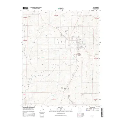
2015 Map of Ava
USGS Topo · Published 2015About this map
The Ozark plateau city of Ava serves as the focal point of this survey, surrounded by the deep hollows and timbered ridges of the Mark Twain National Forest. The landscape is defined by its numerous family and community burial grounds, which provide a rich resource for genealogical research, including Tower Hill Cemetery, Ava Cemetery, and Bragg Cemetery in the north. The rugged topography is etched with named drainages such as Couskin Cr and Hunter Cr, while prominent high points like Pilot Knob and Table Rock Knob overlook the diverse terrain of Douglas and Wright counties.
Find a feature on this map
120 named features on this map. Tap any name to fly to it.
Don’t see what you’re looking for? This feature index may not catch every label — zoom into the map to look around manually.
Map Details
Editions of this 2015 Ava Map
This is the sole edition of this map. No revisions or reprints were ever made.
Other maps of this area

1936 · Ava
USGS Topo · 1:48,000

1937 · Bradleyville
USGS Topo · 1:48,000

1939 · Fordland
USGS Topo · 1:62,500

1942 · Fordland
USGS Topo · 1:62,500

1942 · Ava
USGS Topo · 1:62,500

1943 · Bradleyville
USGS Topo · 1:62,500

1945 · Ava
USGS Topo · 1:62,500

1945 · Harrison
USGS Topo · 1:250,000

1945 · Bradleyville
USGS Topo · 1:62,500

1949 · Harrison
USGS Topo · 1:250,000