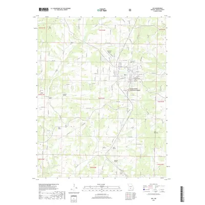
2017 Map of Ava
USGS Topo · Published 2017About this map
The Douglas County seat of Ava serves as the central hub of this 2017 study, where the expanding street grid meets the eastern fringes of the Mark Twain National Forest. The landscape is defined by a dense concentration of lineage-rich sites, particularly small family and community burying grounds such as Arno Cem, Harris Cem, Burdett Cem, and Ritter Cem that are scattered throughout the surrounding hollows. These features offer significant value for genealogists tracing Ozark settlement patterns.
Find a feature on this map
119 named features on this map. Tap any name to fly to it.
Don’t see what you’re looking for? This feature index may not catch every label — zoom into the map to look around manually.
Map Details
Editions of this 2017 Ava Map
This is the sole edition of this map. No revisions or reprints were ever made.
Other maps of this area

1936 · Ava
USGS Topo · 1:48,000

1937 · Bradleyville
USGS Topo · 1:48,000

1939 · Fordland
USGS Topo · 1:62,500

1942 · Fordland
USGS Topo · 1:62,500

1942 · Ava
USGS Topo · 1:62,500

1943 · Bradleyville
USGS Topo · 1:62,500

1945 · Ava
USGS Topo · 1:62,500

1945 · Harrison
USGS Topo · 1:250,000

1945 · Bradleyville
USGS Topo · 1:62,500

1949 · Harrison
USGS Topo · 1:250,000