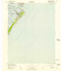
1953 Map of Avalon
USGS Topo · Published 1957About this map
Seven Mile Beach and the barrier island communities of Avalon and Stone Harbor are captured here in the early 1950s, showcasing a landscape defined by its complex maritime geography. The coastal development is bordered by the Atlantic Ocean to the east and a labyrinth of tidal channels to the west, including Ingram Thorofare and Long Reach. The infrastructure of a mid-century resort town is evident through the layout of the Boardwalk, the Avalon Yacht Club, and the artificial basins of Pennsylvania Harbor and Princeton Harbor. Beyond the residential grids, the map details the critical Intracoastal Waterway navigating through Townsends Inlet, while offshore features like a noted Wreckage and various pilings reflect the hazards of this shifting coastal environment.
Find a feature on this map
29 named features on this map. Tap any name to fly to it.
Don’t see what you’re looking for? This feature index may not catch every label — zoom into the map to look around manually.
Map Details
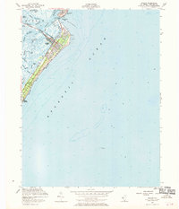
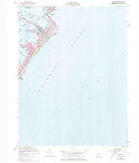
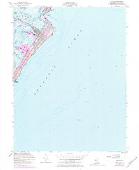
Editions of this 1953 Avalon Map
4 editions found
Other maps of this area

1884 · Sea Isle
USGS Topo · 1:62,500

1888 · Cape May
USGS Topo · 1:62,500

1888 · Dennisville
USGS Topo · 1:62,500

1888 · Sea Isle
USGS Topo · 1:62,500

1893 · Cape May
USGS Topo · 1:62,500

1894 · Dennisville
USGS Topo · 1:62,500

1894 · Sea Isle
USGS Topo · 1:62,500

1898 · Cape May
USGS Topo · 1:62,500

1918 · Cape May
USGS Topo · 1:62,500

1919 · Sea Isle
USGS Topo · 1:62,500