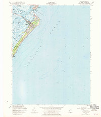
1953 Map of Avalon
USGS Topo · Published 1970About this map
Avalon and the northern tip of Stone Harbor occupy the narrow barrier known as Seven Mile island, defined here by the post-war development of the early 1950s. The landscape is a complex network of coastal waterways including Stites Sound and Ingram Thorofare, with the built environment increasingly pushing into the marsh through the construction of residential lagoons. These man-made basins, such as Pennsylvania Harbor, Cornell Harbor, and Princeton Harbor, demonstrate the mid-century transformation of the Jersey Shore into a structured recreational destination. Along the oceanfront, the Boardwalk and Avalon Beach line the coast, while the Avalon Yacht Club stands near the northern tip by Townsends Inlet. The survey also documents navigational hazards and maritime infrastructure, with a Filtration Plant and offshore Wreckage noted in the Atlantic Ocean.
Find a feature on this map
33 named features on this map. Tap any name to fly to it.
Don’t see what you’re looking for? This feature index may not catch every label — zoom into the map to look around manually.
Map Details
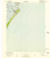
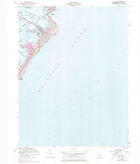
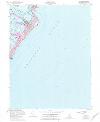
Editions of this 1953 Avalon Map
4 editions found
Other maps of this area

1884 · Sea Isle
USGS Topo · 1:62,500

1888 · Cape May
USGS Topo · 1:62,500

1888 · Dennisville
USGS Topo · 1:62,500

1888 · Sea Isle
USGS Topo · 1:62,500

1893 · Cape May
USGS Topo · 1:62,500

1894 · Dennisville
USGS Topo · 1:62,500

1894 · Sea Isle
USGS Topo · 1:62,500

1898 · Cape May
USGS Topo · 1:62,500

1918 · Cape May
USGS Topo · 1:62,500

1919 · Sea Isle
USGS Topo · 1:62,500