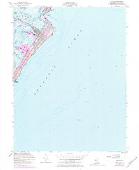
1953 Map of Avalon
USGS Topo · Published 1984About this map
Seven Mile Beach anchors this coastal study, showing the developed shoreline of the Jersey Cape during the mid-twentieth century. The borough of Avalon is depicted with a dense grid of streets and key maritime landmarks, including the Avalon Yacht Club and the specialized basins of Cornell Harbor, Pennsylvania Harbor, and Princeton Harbor. These man-made inlets highlight the post-war emphasis on recreational boating and seasonal residence that reshaped the barrier island.
Find a feature on this map
37 named features on this map. Tap any name to fly to it.
Don’t see what you’re looking for? This feature index may not catch every label — zoom into the map to look around manually.
Map Details
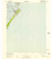
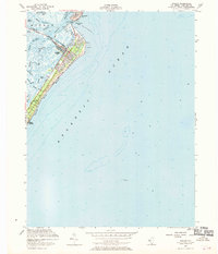
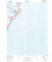
Editions of this 1953 Avalon Map
4 editions found
Other maps of this area

1884 · Sea Isle
USGS Topo · 1:62,500

1888 · Cape May
USGS Topo · 1:62,500

1888 · Dennisville
USGS Topo · 1:62,500

1888 · Sea Isle
USGS Topo · 1:62,500

1893 · Cape May
USGS Topo · 1:62,500

1894 · Dennisville
USGS Topo · 1:62,500

1894 · Sea Isle
USGS Topo · 1:62,500

1898 · Cape May
USGS Topo · 1:62,500

1918 · Cape May
USGS Topo · 1:62,500

1919 · Sea Isle
USGS Topo · 1:62,500