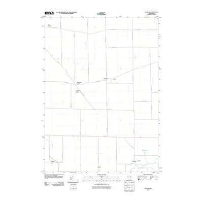
2010 Map of Avalon
USGS Topo · Published 2010About this map
Johnstown Center and the neighboring community of Johnstown anchor the northern reaches of this Rock County landscape, reflecting the grid-based agricultural development of southern Wisconsin. The map captures a transition between the elevated terrain of the north and the lower wetlands and watercourses of the south, where Turtle Creek and Spring Brook carve through the prairie. Family roots and early settlement history are preserved in several local burial grounds, including North Johnstown Cemetery, Bradford Cemetery, and Fairfield Cemetery. Small-scale aviation is represented by the Johnstown Center Airport, while the village of Avalon sits in the southwestern corner. This 2010 survey illustrates a region defined by its rural road network, with routes like Territorial Rd and Rock County Line Rd marking the structured division of land that has persisted for generations.
Find a feature on this map
42 named features on this map. Tap any name to fly to it.
Don’t see what you’re looking for? This feature index may not catch every label — zoom into the map to look around manually.
Map Details
Editions of this 2010 Avalon Map
This is the sole edition of this map. No revisions or reprints were ever made.
Other maps of this area

1891 · Koshkonong
USGS Topo · 1:62,500

1892 · Whitewater
USGS Topo · 1:62,500

1893 · Delavan
USGS Topo · 1:62,500

1893 · Whitewater
USGS Topo · 1:62,500

1893 · Shopiere
USGS Topo · 1:62,500

1894 · Koshkonong
USGS Topo · 1:62,500

1903 · Whitewater
USGS Topo · 1:62,500

1906 · Koshkonong
USGS Topo · 1:62,500

1924 · Whitewater
USGS Topo · 1:62,500

1954 · Rockford
USGS Topo · 1:250,000