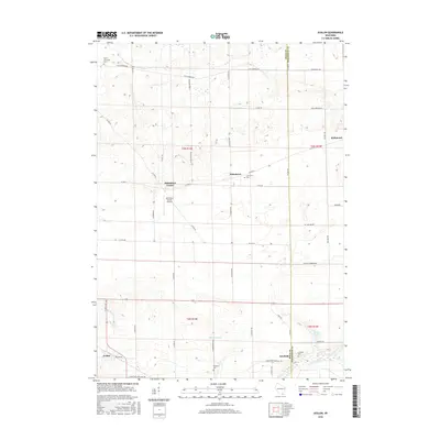
2016 Map of Avalon
USGS Topo · Published 2016About this map
Agricultural patterns and small rural crossroads define this section of the Rock and Walworth County border. The settlement of Johnstown Center serves as a central hub, flanked by the Johnstown Center Airport and several historic burial grounds, including the North Johnstown Cem and Johnstown Cem. The landscape is largely dictated by the gentle drainage of Spring Brook and Turtle Creek, the latter of which flows near the community of Fairfield. To the west, the village of Avalon is situated along Avalon Rd, while the eastern edge reaches into the township of Richmond. This map provides a detailed look at the township and range system in southern Wisconsin, clearly marking the boundaries of t3n r14e, t3n r15e, t2n r14e, and t2n r15e, illustrating how the 19th-century land survey continues to shape the modern road network and property lines.
Find a feature on this map
35 named features on this map. Tap any name to fly to it.
Don’t see what you’re looking for? This feature index may not catch every label — zoom into the map to look around manually.
Map Details
Editions of this 2016 Avalon Map
This is the sole edition of this map. No revisions or reprints were ever made.
Other maps of this area

1891 · Koshkonong
USGS Topo · 1:62,500

1892 · Whitewater
USGS Topo · 1:62,500

1893 · Delavan
USGS Topo · 1:62,500

1893 · Whitewater
USGS Topo · 1:62,500

1893 · Shopiere
USGS Topo · 1:62,500

1894 · Koshkonong
USGS Topo · 1:62,500

1903 · Whitewater
USGS Topo · 1:62,500

1906 · Koshkonong
USGS Topo · 1:62,500

1924 · Whitewater
USGS Topo · 1:62,500

1954 · Rockford
USGS Topo · 1:250,000