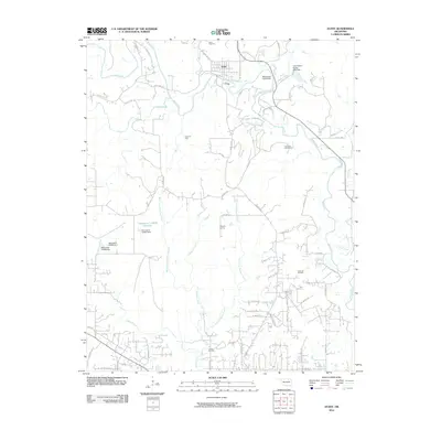
2010 Map of Avant
USGS Topo · Published 2010About this map
Avant sits at the northern edge of this landscape, where the confluence of Bird Creek and Candy Creek defines the local topography. This region of northeastern Oklahoma is deeply shaped by its petroleum history, with significant extraction infrastructure visible at the Avant Oil Field, Skiatook Oil Field, and Javine Oil Field. The industrial character of the land is balanced by numerous water management features, including the Avant Water Supply Lake Dam and several numbered reservoirs such as Oknoname 113070.
Find a feature on this map
55 named features on this map. Tap any name to fly to it.
Don’t see what you’re looking for? This feature index may not catch every label — zoom into the map to look around manually.
Map Details
Editions of this 2010 Avant Map
This is the sole edition of this map. No revisions or reprints were ever made.
Other maps of this area

1901 · Claremore
USGS Topo · 1:125,000

1901 · Nowata
USGS Topo · 1:125,000

1909 · Pawhuska
USGS Topo · 1:125,000

1910 · Pawhuska
USGS Topo · 1:125,000

1912 · Hominy
USGS Topo · 1:125,000

1914 · Nowata
USGS Topo · 1:125,000

1914 · Claremore
USGS Topo · 1:125,000

1915 · Hominy
USGS Topo · 1:125,000

1916 · Claremore
USGS Topo · 1:125,000

1954 · Tulsa
USGS Topo · 1:250,000