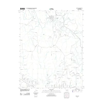
2012 Map of Avant
USGS Topo · Published 2012About this map
Avant occupies the northern reach of this landscape, situated near the confluence of Bird Cr and Bull Cr. The town's grid is clearly defined by local thoroughfares such as Main St and Grand Ave, reflecting a settled community established well before the modern era. The surrounding terrain is heavily influenced by the petroleum industry, with significant resource extraction areas including the Avant Oil Field, the Skiatook Oil Field, and the Javine Oil Field scattered across the township. These fields suggest a long history of energy production that has shaped the local economy and land use patterns.
Find a feature on this map
101 named features on this map. Tap any name to fly to it.
Don’t see what you’re looking for? This feature index may not catch every label — zoom into the map to look around manually.
Map Details
Editions of this 2012 Avant Map
This is the sole edition of this map. No revisions or reprints were ever made.
Other maps of this area

1901 · Claremore
USGS Topo · 1:125,000

1901 · Nowata
USGS Topo · 1:125,000

1909 · Pawhuska
USGS Topo · 1:125,000

1910 · Pawhuska
USGS Topo · 1:125,000

1912 · Hominy
USGS Topo · 1:125,000

1914 · Nowata
USGS Topo · 1:125,000

1914 · Claremore
USGS Topo · 1:125,000

1915 · Hominy
USGS Topo · 1:125,000

1916 · Claremore
USGS Topo · 1:125,000

1954 · Tulsa
USGS Topo · 1:250,000