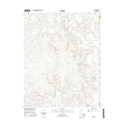
2016 Map of Avant
USGS Topo · Published 2016About this map
Avant sits at the northern edge of this Osage County landscape, where the waters of Bird Creek and Candy Cr converge. The town is structured around a small grid including Grand Ave and 2nd St, serving as a local hub near the Candy Lake Estate Airport. The surrounding terrain is deeply carved by the drainage networks of Quapaw Cr, Bull Creek, and Battle Cr, which create a complex system of ridges and valleys typical of the region's topography.
Find a feature on this map
81 named features on this map. Tap any name to fly to it.
Don’t see what you’re looking for? This feature index may not catch every label — zoom into the map to look around manually.
Map Details
Editions of this 2016 Avant Map
This is the sole edition of this map. No revisions or reprints were ever made.
Other maps of this area

1901 · Claremore
USGS Topo · 1:125,000

1901 · Nowata
USGS Topo · 1:125,000

1909 · Pawhuska
USGS Topo · 1:125,000

1910 · Pawhuska
USGS Topo · 1:125,000

1912 · Hominy
USGS Topo · 1:125,000

1914 · Nowata
USGS Topo · 1:125,000

1914 · Claremore
USGS Topo · 1:125,000

1915 · Hominy
USGS Topo · 1:125,000

1916 · Claremore
USGS Topo · 1:125,000

1954 · Tulsa
USGS Topo · 1:250,000