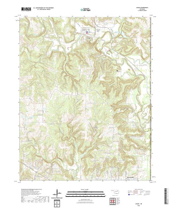
2022 Map of Avant
USGS Topo · Published 2022About this map
The town of Avant serves as the focal point for this landscape in southeastern Osage County, where the terrain is deeply dissected by the winding course of Bird Creek. To the north, the Avant Water Supply Lake and Candy Cr drain toward the settlement, while the southern reaches are defined by the multiple branches of Quapaw Cr, including the E Prong Quapaw Cr and W Prong Quapaw Cr. This area maintains a predominantly rural character, evidenced by private airstrips like the Kourtis Family Farm Airport and the Candy Lake Estate Airport. For genealogists and local historians, the map accurately positions the Avant Cem near the town center and the Lombard Cem further south, providing essential landmarks for tracing family heritage. The southern edge of the sheet briefly captures the northern residential streets of Skiatook, marking the transition toward the larger regional population centers.
Find a feature on this map
102 named features on this map. Tap any name to fly to it.
Don’t see what you’re looking for? This feature index may not catch every label — zoom into the map to look around manually.
Map Details
Editions of this 2022 Avant Map
This is the sole edition of this map. No revisions or reprints were ever made.
Other maps of this area

1901 · Claremore
USGS Topo · 1:125,000

1901 · Nowata
USGS Topo · 1:125,000

1909 · Pawhuska
USGS Topo · 1:125,000

1910 · Pawhuska
USGS Topo · 1:125,000

1912 · Hominy
USGS Topo · 1:125,000

1914 · Nowata
USGS Topo · 1:125,000

1914 · Claremore
USGS Topo · 1:125,000

1915 · Hominy
USGS Topo · 1:125,000

1916 · Claremore
USGS Topo · 1:125,000

1954 · Tulsa
USGS Topo · 1:250,000