
1933 Map of Avawatz Mountains
USGS Topo · Published 1933About this map
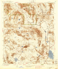
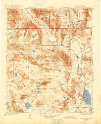
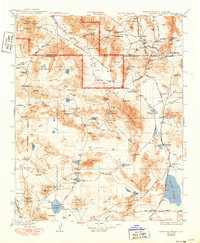
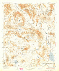
Death Valley and the surrounding desert ranges are mapped here during a period of active rail travel and industrial mining. The landscape is defined by the ephemeral Amargosa River and the high desert basins of Soda Lake and Silver Lake. Small settlements like Shoshone and Baker serve as hubs along the Tonopah and Tidewater RR and Union Pacific RR, reflecting the region's reliance on railroad connectivity for survival and commerce.
Find a feature on this map
109 named features on this map. Tap any name to fly to it.
Don’t see what you’re looking for? This feature index may not catch every label — zoom into the map to look around manually.
Map Details
Editions of this 1933 Avawatz Mountains Map
5 editions found
Other maps of this area

1907 · Las Vegas
USGS Topo · 1:250,000

1908 · Furnace Creek
USGS Topo · 1:250,000

1908 · Las Vegas
USGS Topo · 1:250,000

1908 · Ballarat
USGS Topo · 1:250,000

1910 · Furnace Creek
USGS Topo · 1:250,000

1910 · Ivanpah
USGS Topo · 1:250,000

1912 · Ivanpah
USGS Topo · 1:250,000

1913 · Ballarat
USGS Topo · 1:250,000

1915 · Searles Lake
USGS Topo · 1:250,000

1932 · Barstow
USGS Topo · 1:125,000