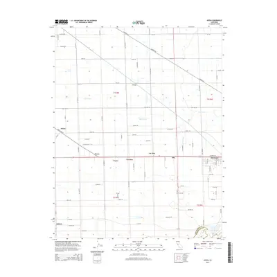
2015 Map of Avena
USGS Topo · Published 2015About this map
Escalon and the northern outskirts of Ripon anchor this 2015 survey of the San Joaquin Valley floor. The landscape is defined by a dense, rectilinear grid of rural roads and irrigation patterns, reflecting the area's intensive agricultural character. Small named clusters and historical sidings like Avena, Simms, and Van Allen are situated along primary transportation corridors, including the rail lines and Yosemite Ave. This network of small settlements suggests the enduring importance of local shipping points for the surrounding orchards and fields. To the west, Atlanta sits near the intersection of French Camp Rd and Tide Rd, while the ephemeral drainage of Lone Tree Cr cuts diagonally across the township lines of t1s r8e and t1s r9e. The map captures the boundary between San Joaquin and Stanislaus counties as it follows the southern roads near the river corridor.
Find a feature on this map
74 named features on this map. Tap any name to fly to it.
Don’t see what you’re looking for? This feature index may not catch every label — zoom into the map to look around manually.
Map Details
Editions of this 2015 Avena Map
This is the sole edition of this map. No revisions or reprints were ever made.
Other maps of this area

1914 · Burnham
USGS Topo · 1:31,680

1914 · Manteca
USGS Topo · 1:31,680

1914 · Avena
USGS Topo · 1:31,680

1915 · Ripon
USGS Topo · 1:31,680

1915 · Trigo
USGS Topo · 1:31,680

1915 · Peters
USGS Topo · 1:31,680

1915 · Salida
USGS Topo · 1:31,680

1915 · Thalheim
USGS Topo · 1:31,680

1916 · Riverbank
USGS Topo · 1:31,680

1939 · Modesto East
USGS Topo · 1:62,500