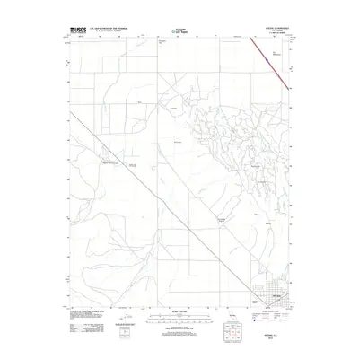
2012 Map of Avenal
USGS Topo · Published 2012About this map
The city of Avenal sits at the base of a complex network of arroyos and canyons that define this part of the Central Valley. The landscape transitions from the urban grid near Avenal Airport to the intricate terrain of the Kettleman Hills, marked by distinctive features like Elephant Hill and La Lomera. The presence of Starkey and Erwin Ranch and Weeth Ranch speaks to the region's agricultural and pastoral operations in the early 21st century. Natural drainage systems are a prominent characteristic of this sheet, including Arroyo Recto, Arroyo Seco, and the seasonal Zapato Chino Cr which cuts through Zapato Chino Canyon. These waterways and named geographic points such as Polvadero Gap and The Washboard reflect the unique topographical challenges and landmarks used by locals to navigate this arid, folded landscape near the Fresno County line.
Find a feature on this map
33 named features on this map. Tap any name to fly to it.
Don’t see what you’re looking for? This feature index may not catch every label — zoom into the map to look around manually.
Map Details
Editions of this 2012 Avenal Map
This is the sole edition of this map. No revisions or reprints were ever made.
Other maps of this area

1912 · Coalinga
USGS Topo · 1:125,000

1914 · Cholame
USGS Topo · 1:125,000

1915 · Cholame
USGS Topo · 1:125,000

1917 · Cholame
USGS Topo · 1:125,000

1930 · Discovery Well
USGS Topo · 1:31,680

1930 · Canoas Creek
USGS Topo · 1:31,680

1930 · Kettleman Plain
USGS Topo · 1:31,680

1933 · Huron
USGS Topo · 1:31,680

1933 · Guijarral Hills
USGS Topo · 1:31,680

1933 · Kettleman Plain
USGS Topo · 1:31,680