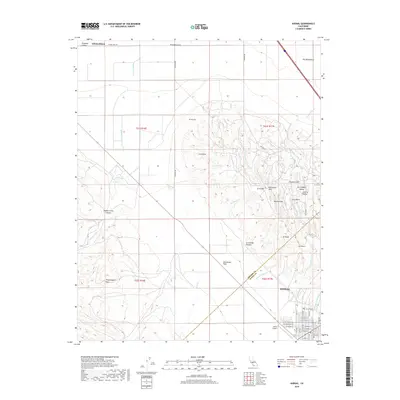
2018 Map of Avenal
USGS Topo · Published 2018About this map
The city of Avenal anchors the southeastern corner of this Central Valley landscape, situated at the edge of the Kettleman Plain. This survey illustrates the transition from the relatively flat valley floor of the San Joaquin Valley into the complex topography of the Kettleman Hills. The terrain is defined by a dense network of seasonal drainages, including Arroyo Recto, Arroyo Seco, and Arroyo Corto, which have carved intricate patterns into features like The Washboard and El Hocico.
Find a feature on this map
60 named features on this map. Tap any name to fly to it.
Don’t see what you’re looking for? This feature index may not catch every label — zoom into the map to look around manually.
Map Details
Editions of this 2018 Avenal Map
This is the sole edition of this map. No revisions or reprints were ever made.
Other maps of this area

1912 · Coalinga
USGS Topo · 1:125,000

1914 · Cholame
USGS Topo · 1:125,000

1915 · Cholame
USGS Topo · 1:125,000

1917 · Cholame
USGS Topo · 1:125,000

1930 · Discovery Well
USGS Topo · 1:31,680

1930 · Canoas Creek
USGS Topo · 1:31,680

1930 · Kettleman Plain
USGS Topo · 1:31,680

1933 · Huron
USGS Topo · 1:31,680

1933 · Guijarral Hills
USGS Topo · 1:31,680

1933 · Kettleman Plain
USGS Topo · 1:31,680