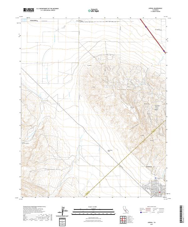
2021 Map of Avenal
USGS Topo · Published 2021About this map
Avenal sits at the base of the Kettleman Hills, anchoring a landscape defined by the transition between the San Joaquin Valley and the uplifted terrain of the Kreyenhagen Hills. This 2021 survey documents the residential grid of the town, featuring thoroughfares like E Laneva Blvd and E Kern St, as it interfaces with the agricultural and petroleum-producing heritage of the Kettleman Plain.
Find a feature on this map
49 named features on this map. Tap any name to fly to it.
Don’t see what you’re looking for? This feature index may not catch every label — zoom into the map to look around manually.
Map Details
Editions of this 2021 Avenal Map
This is the sole edition of this map. No revisions or reprints were ever made.
Other maps of this area

1912 · Coalinga
USGS Topo · 1:125,000

1914 · Cholame
USGS Topo · 1:125,000

1915 · Cholame
USGS Topo · 1:125,000

1917 · Cholame
USGS Topo · 1:125,000

1930 · Discovery Well
USGS Topo · 1:31,680

1930 · Canoas Creek
USGS Topo · 1:31,680

1930 · Kettleman Plain
USGS Topo · 1:31,680

1933 · Huron
USGS Topo · 1:31,680

1933 · Guijarral Hills
USGS Topo · 1:31,680

1933 · Kettleman Plain
USGS Topo · 1:31,680