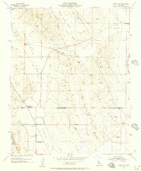
1954 Map of Avenal Gap
USGS Topo · Published 1956About this map
Kettleman Plain and the Antelope Plain meet in this mid-century survey of the California Central Valley, centered on the strategic Avenal Gap. The landscape is a study in industrial and agricultural utility, where the arid terrain is managed through an extensive network of oil wells, oil tanks, and water infrastructure including several water tanks and a reservoir. Cultural features are focused on the southern portion of the sheet near the Kings and Kern County line, where the small settlement of Devils Den and a Farm Labor Camp are located.
Find a feature on this map
45 named features on this map. Tap any name to fly to it.
Don’t see what you’re looking for? This feature index may not catch every label — zoom into the map to look around manually.
Map Details
Editions of this 1954 Avenal Gap Map
3 editions found
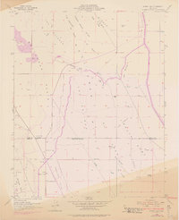
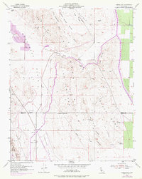
Other maps of this area

1914 · Lost Hills
USGS Topo · 1:125,000

1914 · Cholame
USGS Topo · 1:125,000

1915 · Cholame
USGS Topo · 1:125,000

1917 · Cholame
USGS Topo · 1:125,000

1930 · Avenal Gap
USGS Topo · 1:31,680

1930 · Kettleman Plain
USGS Topo · 1:31,680

1930 · Middle Dome
USGS Topo · 1:31,680

1932 · Dudley Ridge
USGS Topo · 1:31,680

1932 · Antelope Plain
USGS Topo · 1:31,680

1932 · West Camp
USGS Topo · 1:31,680