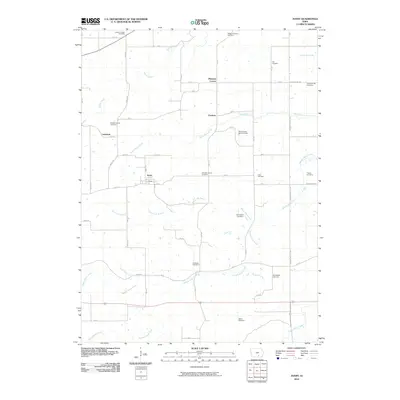
2010 Map of Avery
USGS Topo · Published 2010About this map
Frederic and Avery anchor this section of Monroe County, showing a landscape defined by a high density of rural burial grounds and family plots. The terrain is partitioned by numerous watercourses, including North Avery Creek and Middle Avery Creek, which wind through the agricultural sections. For genealogists and local historians, this survey is particularly valuable for its documentation of numerous small cemeteries such as Dave Roberts Farm Cemetery, Johnston Family Cemetery, and the Old Shahan Cemetery. These sites, often situated near road junctions like Whiskey Ridge, reflect the deep-rooted family settlements of the area. The map also captures smaller communities like Lockman and Pleasant Corner, illustrating the distributed nature of early Iowa township life before modern consolidation shifted the region's focus.
Find a feature on this map
58 named features on this map. Tap any name to fly to it.
Don’t see what you’re looking for? This feature index may not catch every label — zoom into the map to look around manually.
Map Details
Editions of this 2010 Avery Map
This is the sole edition of this map. No revisions or reprints were ever made.
Other maps of this area

1929 · Albia
USGS Topo · 1:62,500

1939 · Mystic
USGS Topo · 1:62,500

1942 · Mystic
USGS Topo · 1:62,500

1954 · Centerville
USGS Topo · 1:250,000

1954 · Des Moines
USGS Topo · 1:250,000

1956 · Des Moines
USGS Topo · 1:250,000

1957 · Des Moines
USGS Topo · 1:250,000

1957 · Centerville
USGS Topo · 1:250,000

1958 · Centerville
USGS Topo · 1:250,000
1968 · Blakesburg NE
USGS Topo · 1:24,000