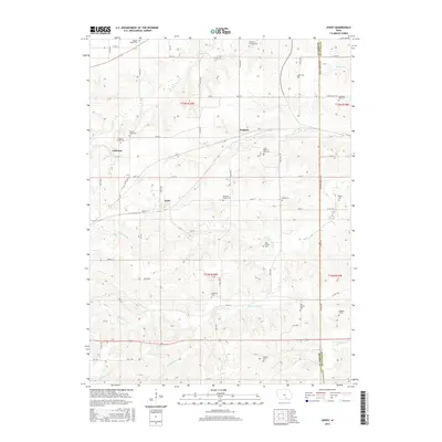
2015 Map of Avery
USGS Topo · Published 2015About this map
Frederic and Avery sit along the rolling watershed where the Monroe and Wapello county line divides the landscape. This 2015 survey reveals a terrain defined by its cemeteries and watercourses, reflecting a deep-rooted agricultural and rural settlement pattern. The map identifies numerous family-named landmarks and resting places, from the Johnston Family Cem to the isolated Daggett Grave, suggesting a legacy of private land ownership and generational presence.
Find a feature on this map
50 named features on this map. Tap any name to fly to it.
Don’t see what you’re looking for? This feature index may not catch every label — zoom into the map to look around manually.
Map Details
Editions of this 2015 Avery Map
This is the sole edition of this map. No revisions or reprints were ever made.
Other maps of this area

1929 · Albia
USGS Topo · 1:62,500

1939 · Mystic
USGS Topo · 1:62,500

1942 · Mystic
USGS Topo · 1:62,500

1954 · Centerville
USGS Topo · 1:250,000

1954 · Des Moines
USGS Topo · 1:250,000

1956 · Des Moines
USGS Topo · 1:250,000

1957 · Des Moines
USGS Topo · 1:250,000

1957 · Centerville
USGS Topo · 1:250,000

1958 · Centerville
USGS Topo · 1:250,000
1968 · Blakesburg NE
USGS Topo · 1:24,000