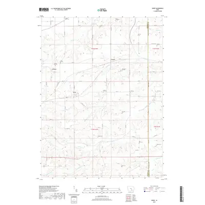
2018 Map of Avery
USGS Topo · Published 2018About this map
Frederic and Avery serve as the primary hubs in this corner of Monroe County, where the landscape is defined by the branching tributaries of the Des Moines River watershed. The area is characterized by a high density of small family burial grounds and rural churchyards, suggesting a deeply rooted agricultural history. Notable sites such as the Johnston Family Cemetery, Dave Roberts Farm Cemetery, and the isolated Daggett Grave provide specific points of interest for genealogists tracing early settler families.
Find a feature on this map
53 named features on this map. Tap any name to fly to it.
Don’t see what you’re looking for? This feature index may not catch every label — zoom into the map to look around manually.
Map Details
Editions of this 2018 Avery Map
This is the sole edition of this map. No revisions or reprints were ever made.
Other maps of this area

1929 · Albia
USGS Topo · 1:62,500

1939 · Mystic
USGS Topo · 1:62,500

1942 · Mystic
USGS Topo · 1:62,500

1954 · Centerville
USGS Topo · 1:250,000

1954 · Des Moines
USGS Topo · 1:250,000

1956 · Des Moines
USGS Topo · 1:250,000

1957 · Des Moines
USGS Topo · 1:250,000

1957 · Centerville
USGS Topo · 1:250,000

1958 · Centerville
USGS Topo · 1:250,000
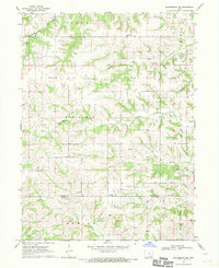
1968 · Blakesburg NE
USGS Topo · 1:24,000