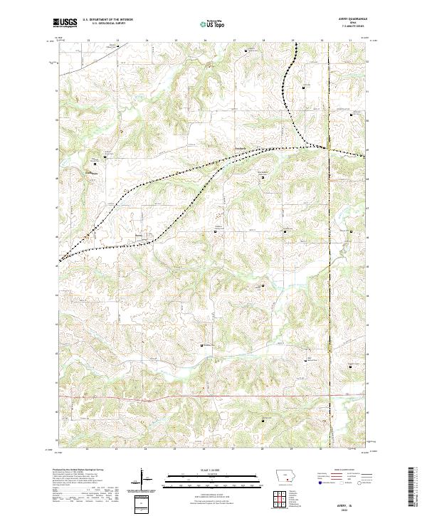
2022 Map of Avery
USGS Topo · Published 2022About this map
The rolling hills of Monroe County, Iowa, are characterized by a dense network of small rural settlements and family burial grounds in this contemporary look at the region. The small communities of Lockman, Frederic, and Avery serve as focal points for a landscape carved by numerous waterways, including Middle Avery Cr and N Avery Cr. The map is particularly significant for genealogists, as it preserves the locations of several small family and community cemeteries. These include the Johnston Family Cem, Dave Roberts Farm Cem, and the solitary Daggett Grave. The drainage patterns, represented by streams such as White Ash Br and Packinghouse Cr, dictate the placement of local roads like 160th ST and 735th Ave, illustrating how the physical geography of southern Iowa continues to shape its human geography.
Find a feature on this map
50 named features on this map. Tap any name to fly to it.
Don’t see what you’re looking for? This feature index may not catch every label — zoom into the map to look around manually.
Map Details
Editions of this 2022 Avery Map
This is the sole edition of this map. No revisions or reprints were ever made.
Other maps of this area

1929 · Albia
USGS Topo · 1:62,500

1939 · Mystic
USGS Topo · 1:62,500

1942 · Mystic
USGS Topo · 1:62,500

1954 · Centerville
USGS Topo · 1:250,000

1954 · Des Moines
USGS Topo · 1:250,000

1956 · Des Moines
USGS Topo · 1:250,000

1957 · Des Moines
USGS Topo · 1:250,000

1957 · Centerville
USGS Topo · 1:250,000

1958 · Centerville
USGS Topo · 1:250,000
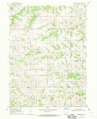
1968 · Blakesburg NE
USGS Topo · 1:24,000