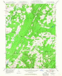
1947 Map of Avilton
USGS Topo · Published 1968About this map
The Mason and Dixon Line defines the northern boundary of this topographic study, separating Maryland from Pennsylvania along the high ridges of the Allegheny Mountains. The landscape is dominated by the steep parallel elevations of Meadow Mountain and Chestnut Ridge, with the National Pike cutting a historic east-west path across the center. Small rural communities like Avilton and Piney Grove serve as local anchors, while the southern reaches are occupied by the expansive Savage River State Forest. Along the western edge, the Casselman River winds through the valley, accompanied by the Casselman RR. Local life is recorded through family-named sites and rural institutions, including St Annes Ch, the Mt Zion Ch & Cem, and the Avilton Sch. The presence of the New Germany Rec Area and numerous runs, such as Poplar Lick Run and Twomile Run, highlight the region's transition into a protected recreational and forest landscape by the mid-20th century.
Find a feature on this map
57 named features on this map. Tap any name to fly to it.
Don’t see what you’re looking for? This feature index may not catch every label — zoom into the map to look around manually.
Map Details
Editions of this 1947 Avilton Map
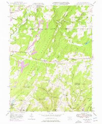
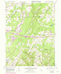
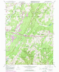
4 editions found
Other maps of this area

1898 · Frostburg
USGS Topo · 1:62,500

1899 · Grantsville
USGS Topo · 1:62,500

1901 · Frostburg
USGS Topo · 1:62,500

1904 · Grantsville
USGS Topo · 1:62,500

1908 · Frostburg
USGS Topo · 1:62,500

1921 · Meyersdale
USGS Topo · 1:62,500

1923 · Berlin
USGS Topo · 1:48,000

1929 · Berlin
USGS Topo · 1:62,500

1939 · Meyersdale
USGS Topo · 1:62,500

1944 · Berlin
USGS Topo · 1:62,500