
1951 Map of Avon
USGS Topo · Published 1952About this map
Escalante Desert terrain dominates this 1951 topographic study, revealing a sparsely settled landscape in Iron County defined by transport and water management. The Union Pacific railroad cuts a diagonal line across the arid valley floor, serving as the primary corridor through the region. In the southwestern corner, the settlement of Avon marks a rare point of habitation near the drainage of Dick Palmer Wash. The presence of a isolated Windmill and the seasonal path of Iron Springs Creek highlight the critical role of water sources in this high-desert environment during the mid-century. This map captures the intersection of early industrial rail infrastructure and the natural hydrological patterns of the eastern Great Basin before modern expansion changed the face of the region.
Find a feature on this map
8 named features on this map. Tap any name to fly to it.
Don’t see what you’re looking for? This feature index may not catch every label — zoom into the map to look around manually.
Map Details
Editions of this 1951 Avon Map
This is the sole edition of this map. No revisions or reprints were ever made.
Other maps of this area

1885 · St. George
USGS Topo · 1:250,000

1891 · St. George
USGS Topo · 1:250,000

1950 · Antelope Peak
USGS Topo · 1:24,000

1950 · Enoch
USGS Topo · 1:62,500

1950 · The Three Peaks
USGS Topo · 1:24,000

1950 · Avon SE
USGS Topo · 1:24,000

1951 · Avon SE
USGS Topo · 1:24,000
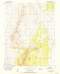
1951 · The Three Peaks
USGS Topo · 1:24,000

1951 · Avon NW
USGS Topo · 1:24,000
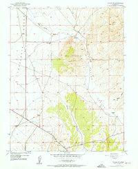
1952 · Enoch NW
USGS Topo · 1:24,000