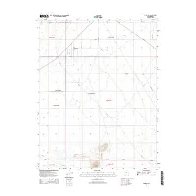
2014 Map of Avon NW
USGS Topo · Published 2014About this map
Escalante Desert terrain dominates this portion of Iron County, characterized by expansive drainage patterns and isolated geological elevations. The topography is defined by the ephemeral courses of Fourmile Wash and Dick Palmer Wash, which cut through the arid basin. To the south, the landscape rises distinctly at Table Butte and the adjacent N Butte, providing rare vertical relief in an otherwise low-lying area. Transportation across this section of the Great Basin relies on a grid of rural routes including Lund Hwy and Avon Rd. A notable modern landmark is the Sun Valley Estates Airport, positioned near the western edge of the desert. The presence of a Beacon in the southwestern corner further indicates the importance of aerial navigation markers in this sparsely populated region of Utah.
Find a feature on this map
28 named features on this map. Tap any name to fly to it.
Don’t see what you’re looking for? This feature index may not catch every label — zoom into the map to look around manually.
Map Details
Editions of this 2014 Avon NW Map
This is the sole edition of this map. No revisions or reprints were ever made.
Other maps of this area

1885 · St. George
USGS Topo · 1:250,000

1891 · St. George
USGS Topo · 1:250,000

1950 · Antelope Peak
USGS Topo · 1:24,000

1950 · Avon SE
USGS Topo · 1:24,000

1951 · Avon SE
USGS Topo · 1:24,000

1951 · Avon
USGS Topo · 1:24,000

1951 · Avon NW
USGS Topo · 1:24,000

1953 · Richfield
USGS Topo · 1:250,000

1953 · Cedar City
USGS Topo · 1:250,000

1958 · Richfield
USGS Topo · 1:250,000