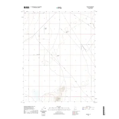
2020 Map of Avon NW
USGS Topo · Published 2020About this map
The Escalante Desert dominates this arid landscape in Iron County, where transportation corridors define the modern human footprint. The northern portion of the map is marked by the Lund Hwy and the private Sun Valley Estates Airport, indicating the specialized development patterns of the late 20th and early 21st centuries. In the south, the prominent rise of Table Butte provides a distinct geological landmark against the surrounding plains. The drainage systems of Fourmile Wash and Dick Palmer Wash cut through the terrain, while the naming of the Bulloch RR Xing and Bulloch RR Xing Alt suggests the importance of livestock or agricultural access points to the regional rail infrastructure that once served this high-desert environment.
Find a feature on this map
12 named features on this map. Tap any name to fly to it.
Don’t see what you’re looking for? This feature index may not catch every label — zoom into the map to look around manually.
Map Details
Editions of this 2020 Avon NW Map
This is the sole edition of this map. No revisions or reprints were ever made.
Other maps of this area

1885 · St. George
USGS Topo · 1:250,000

1891 · St. George
USGS Topo · 1:250,000

1950 · Antelope Peak
USGS Topo · 1:24,000

1950 · Avon SE
USGS Topo · 1:24,000

1951 · Avon SE
USGS Topo · 1:24,000

1951 · Avon
USGS Topo · 1:24,000

1951 · Avon NW
USGS Topo · 1:24,000

1953 · Richfield
USGS Topo · 1:250,000

1953 · Cedar City
USGS Topo · 1:250,000

1958 · Richfield
USGS Topo · 1:250,000