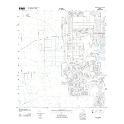
2012 Map of Avon Park
USGS Topo · Published 2012About this map
Avon Park and its surrounding lake-dotted landscape are documented here in 2012, showing a dense network of residential streets and educational facilities. The city is defined by its proximity to numerous water bodies, including Lake Tulane, Lake Anoka, and Lake Lelia. Significant institutional landmarks such as the South Florida Community College campus and the Avon Park Executive Airport appear on the eastern side of the quadrangle. For those researching local burial sites, the Bougainvillea Cem is clearly marked near the northern edge of the town limits. The western portion of the map transitions into a more rural grid, where the Crews Homestead Ranch Airport and watercourses like Little Charley Bowlegs Cr and Bee Br dominate the terrain, reflecting the area's agricultural and ranching roots outside the primary urban center.
Find a feature on this map
365 named features on this map. Tap any name to fly to it.
Don’t see what you’re looking for? This feature index may not catch every label — zoom into the map to look around manually.
Map Details
Editions of this 2012 Avon Park Map
This is the sole edition of this map. No revisions or reprints were ever made.
Other maps of this area

1952 · Lake Arbuckle SW
USGS Topo · 1:24,000

1952 · Lake Arbuckle
USGS Topo · 1:24,000

1952 · Sebring
USGS Topo · 1:24,000

1953 · Frostproof
USGS Topo · 1:24,000

1953 · Avon Park
USGS Topo · 1:24,000

1953 · Crewsville
USGS Topo · 1:24,000

1956 · Bereah
USGS Topo · 1:24,000

1956 · Sweetwater
USGS Topo · 1:24,000

1956 · Griffins Corner
USGS Topo · 1:24,000

1956 · Fort Pierce
USGS Topo · 1:250,000