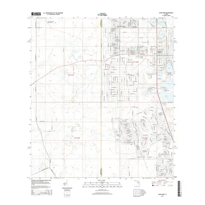
2015 Map of Avon Park
USGS Topo · Published 2015About this map
Avon Park sits at the heart of this Highlands County survey, surrounded by a high concentration of named water bodies characteristic of the Florida central ridge. The map documents a complex landscape where the residential streets of the city meet academic and aviation hubs, including the Florida Community College campus and the Avon Park Executive Airport. For those researching local burial sites, the Bougainvillea Cem is clearly marked on the northern side of town.
Find a feature on this map
276 named features on this map. Tap any name to fly to it.
Don’t see what you’re looking for? This feature index may not catch every label — zoom into the map to look around manually.
Map Details
Editions of this 2015 Avon Park Map
This is the sole edition of this map. No revisions or reprints were ever made.
Other maps of this area

1952 · Lake Arbuckle SW
USGS Topo · 1:24,000

1952 · Lake Arbuckle
USGS Topo · 1:24,000

1952 · Sebring
USGS Topo · 1:24,000

1953 · Frostproof
USGS Topo · 1:24,000

1953 · Avon Park
USGS Topo · 1:24,000

1953 · Crewsville
USGS Topo · 1:24,000

1956 · Bereah
USGS Topo · 1:24,000

1956 · Sweetwater
USGS Topo · 1:24,000

1956 · Griffins Corner
USGS Topo · 1:24,000

1956 · Fort Pierce
USGS Topo · 1:250,000