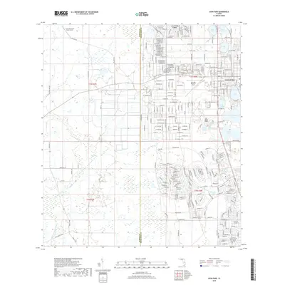
2018 Map of Avon Park
USGS Topo · Published 2018About this map
Avon Park and its surrounding highlands are defined by a complex landscape of freshwater basins and citrus-country development. The city's residential streets expand toward water bodies like Lake Tulane and Lake Lelia, while the eastern edge is marked by the distinctive elevation of the Lake Wales Ridge. This geological feature historically influenced the area's drainage and agricultural patterns, separating the more developed lakesides from the expansive wetlands to the west.
Find a feature on this map
276 named features on this map. Tap any name to fly to it.
Don’t see what you’re looking for? This feature index may not catch every label — zoom into the map to look around manually.
Map Details
Editions of this 2018 Avon Park Map
This is the sole edition of this map. No revisions or reprints were ever made.
Other maps of this area

1952 · Lake Arbuckle SW
USGS Topo · 1:24,000

1952 · Lake Arbuckle
USGS Topo · 1:24,000

1952 · Sebring
USGS Topo · 1:24,000

1953 · Frostproof
USGS Topo · 1:24,000

1953 · Avon Park
USGS Topo · 1:24,000

1953 · Crewsville
USGS Topo · 1:24,000

1956 · Bereah
USGS Topo · 1:24,000

1956 · Sweetwater
USGS Topo · 1:24,000

1956 · Griffins Corner
USGS Topo · 1:24,000

1956 · Fort Pierce
USGS Topo · 1:250,000