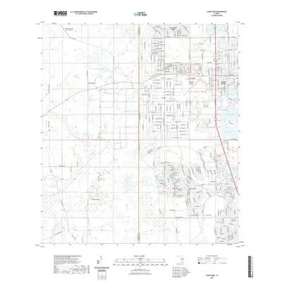
2021 Map of Avon Park
USGS Topo · Published 2021About this map
Avon Park and its surrounding Highland County landscape are defined by the distinctive geography of the Lake Wales Ridge, a series of high ancient sand dunes that historically supported citrus groves and unique scrub habitats. This modern survey illustrates the residential expansion of Avon Park Lakes and the dense street grids that now surround water bodies such as Lake Tulane, Lake Anoka, and Lake Glenada. The area's agricultural and aviation roots remain visible through the Crews Homestead Ranch Airport and the Avon Park Executive Airport.
Find a feature on this map
26 named features on this map. Tap any name to fly to it.
Don’t see what you’re looking for? This feature index may not catch every label — zoom into the map to look around manually.
Map Details
Editions of this 2021 Avon Park Map
This is the sole edition of this map. No revisions or reprints were ever made.
Other maps of this area

1952 · Lake Arbuckle SW
USGS Topo · 1:24,000

1952 · Lake Arbuckle
USGS Topo · 1:24,000

1952 · Sebring
USGS Topo · 1:24,000

1953 · Frostproof
USGS Topo · 1:24,000

1953 · Avon Park
USGS Topo · 1:24,000

1953 · Crewsville
USGS Topo · 1:24,000

1956 · Bereah
USGS Topo · 1:24,000

1956 · Sweetwater
USGS Topo · 1:24,000

1956 · Griffins Corner
USGS Topo · 1:24,000

1956 · Fort Pierce
USGS Topo · 1:250,000