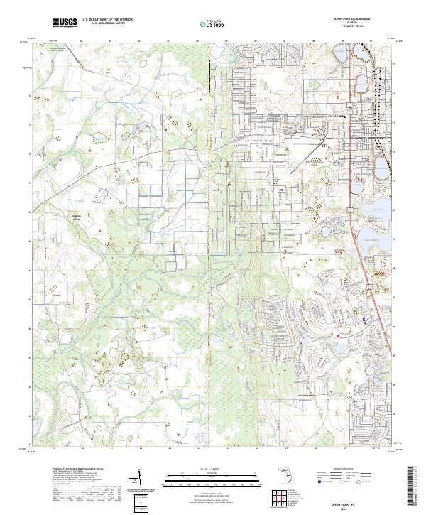
2024 Map of Avon Park
USGS Topo · Published 2024About this map
Avon Park sits atop the geological spine of the Lake Wales Ridge, a landscape defined by its numerous freshwater basins including Lake Byrd, Lake Tulane, and Lake Anoka. The dense street grid of the city transitions into the planned residential layouts of Avon Park Lakes to the northwest, while the rural western reaches near Lemon Grove remain characterized by agricultural land and drainage features like Bee Branch and Little Charley Bowlegs Creek.
Find a feature on this map
165 named features on this map. Tap any name to fly to it.
Don’t see what you’re looking for? This feature index may not catch every label — zoom into the map to look around manually.
Map Details
Editions of this 2024 Avon Park Map
This is the sole edition of this map. No revisions or reprints were ever made.
Other maps of this area

1952 · Lake Arbuckle SW
USGS Topo · 1:24,000

1952 · Lake Arbuckle
USGS Topo · 1:24,000

1952 · Sebring
USGS Topo · 1:24,000

1953 · Frostproof
USGS Topo · 1:24,000

1953 · Avon Park
USGS Topo · 1:24,000

1953 · Crewsville
USGS Topo · 1:24,000

1956 · Bereah
USGS Topo · 1:24,000

1956 · Sweetwater
USGS Topo · 1:24,000

1956 · Griffins Corner
USGS Topo · 1:24,000

1956 · Fort Pierce
USGS Topo · 1:250,000