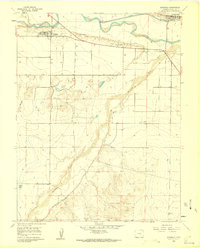
1960 Map of Avondale
USGS Topo · Published 1962About this map
The confluence of the Arkansas River and the Huerfano River dominates this landscape, where the high plains meet sophisticated irrigation systems in the early 1960s. The settlement of Avondale and the smaller community of Boone are tied together by the A T & S F railroad and the Colorado Canal, showing the region's reliance on both rail transport and water management. Evidence of the area's frontier history remains visible at Fort Reynolds, situated on the bluffs overlooking the river valley.
Find a feature on this map
18 named features on this map. Tap any name to fly to it.
Don’t see what you’re looking for? This feature index may not catch every label — zoom into the map to look around manually.
Map Details
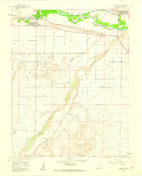
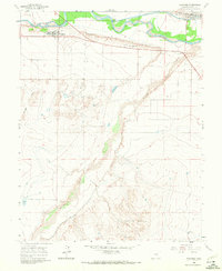
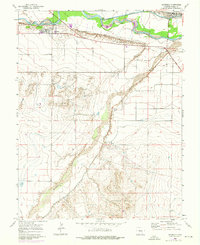
Editions of this 1960 Avondale Map
4 editions found
Other maps of this area

1891 · Nepesta
USGS Topo · 1:125,000

1893 · Nepesta
USGS Topo · 1:125,000

1904 · Nepesta
USGS Topo · 1:125,000

1954 · Pueblo
USGS Topo · 1:250,000

1957 · Pueblo
USGS Topo · 1:250,000

1958 · Pueblo
USGS Topo · 1:250,000
1959 · Flying A Ranch
USGS Topo · 1:24,000
1960 · Nepesta
USGS Topo · 1:24,000
1960 · Boone Hill
USGS Topo · 1:24,000
1960 · Vineland
USGS Topo · 1:24,000